all images © James Tung, 2001-2008
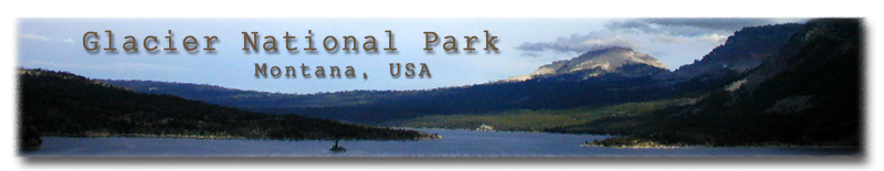
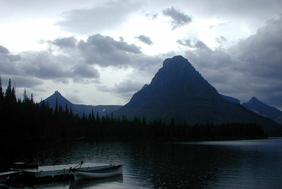
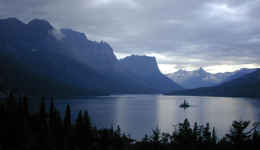
St. Mary Lake
My second hiking trip of summer, 2002 took place in Glacier National Park on the northwestern edge of Montana. The main project was a four-day loop in the Two Medicine area; Alan and I also did a few dayhikes to various lakes and water falls.
Naturally I made many comparisons with the Pukaskwa trip that happened earlier in the summer. Basically the trails are better marked and the insects much less problematic, making this a more pleasant hike.
Here is a link to the official homepage of the national park, and a map.
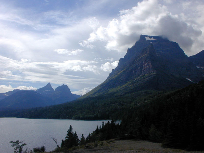
The "Sun" is the main road that traverses through the heart of the park. We entered the park around midday and decided to do a short hike up to Avalanche Lake. It was definitely tourist season; the traffic on the trail was fairly heavy. We walked around the whole lake, and were able to find some more tranquil places on the far end of the lake. After hiking out of the lake we drove the rest of the Sun, checked out a few more spots along the road, and camped at St. Mary on the eastern end of the Sun.
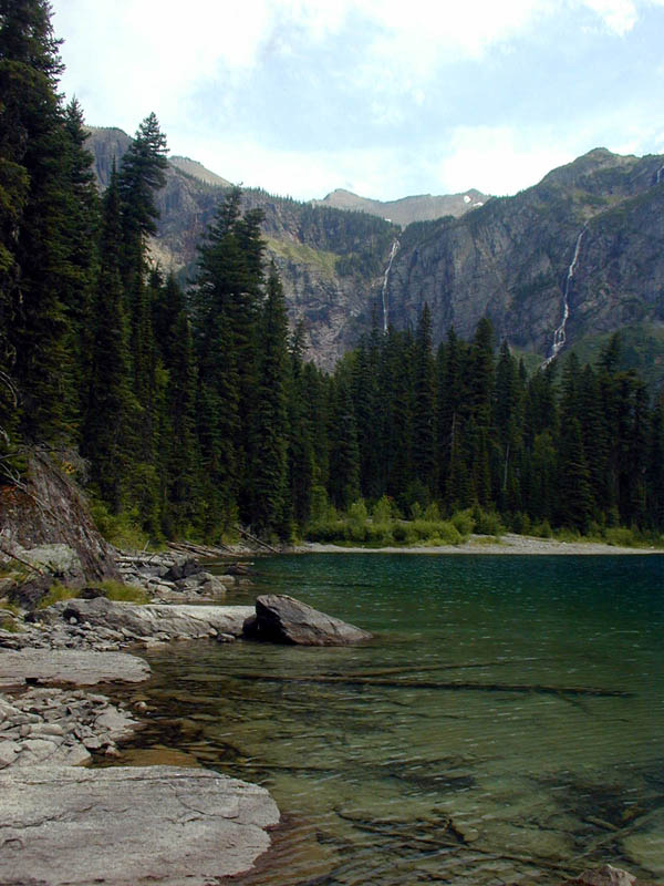
Avalanche Lake |
Avalanche Lake |
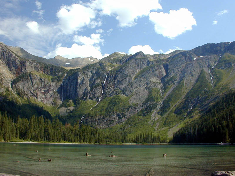
Avalanche Lake |
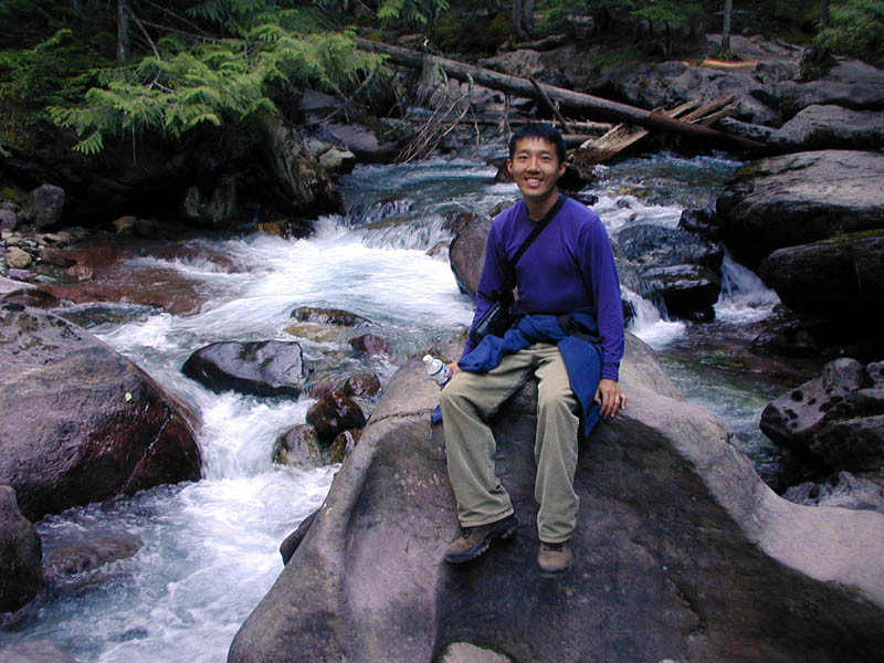
rapids along Avalanche Creek |
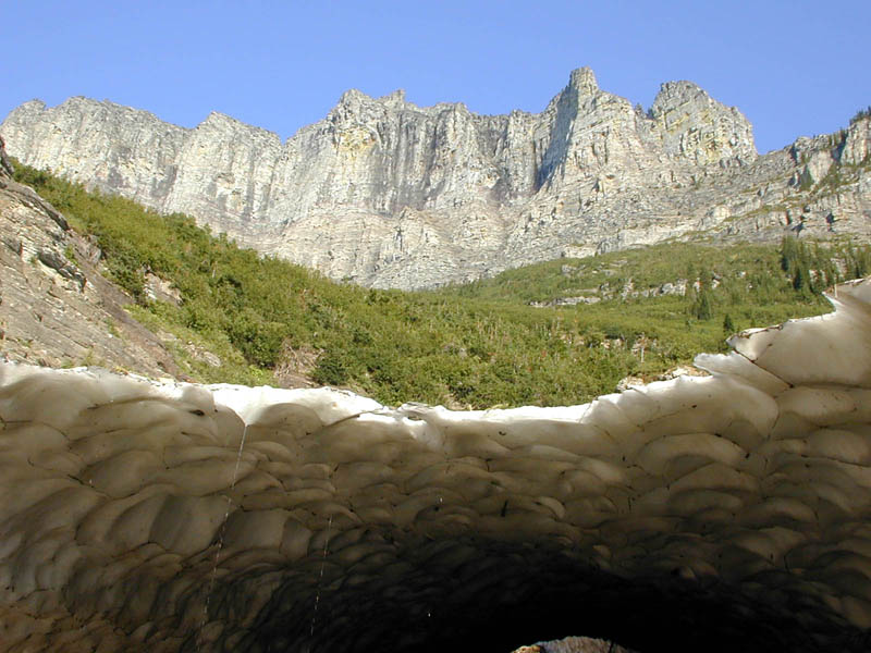
ice caps along the Sun |
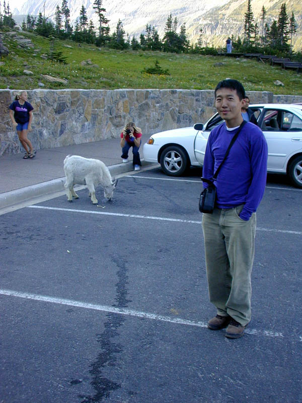
goat, allegedly licking beer |
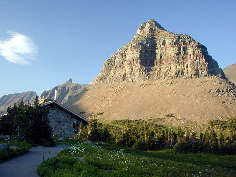
Logan Pass |
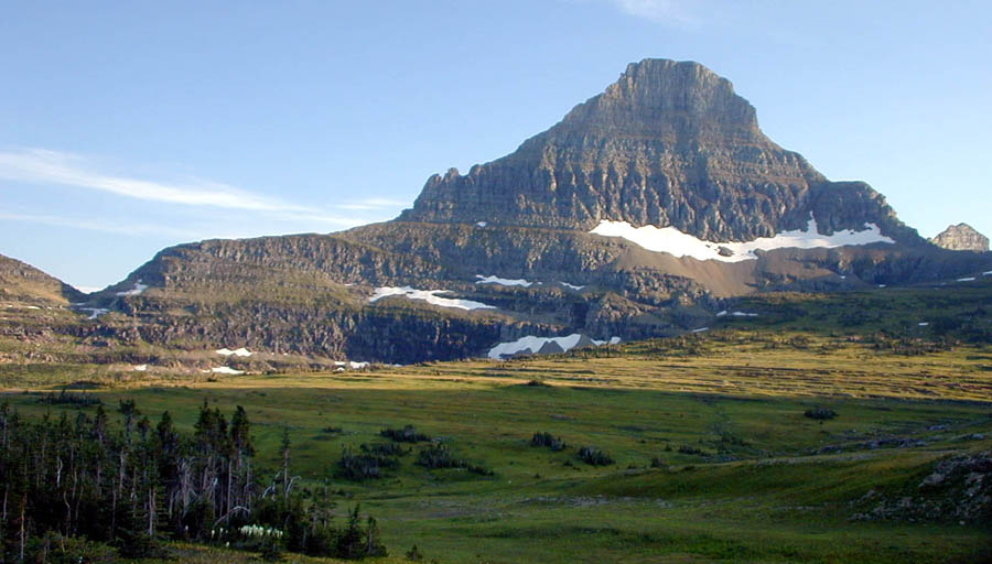
Logan Pass |
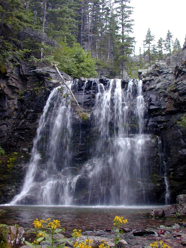
Baring Falls at dusk |
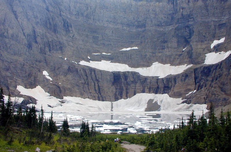
There were actually little icebergs floating in the Lake, in the middle of August. The 10-km (roundtrip) hike to the lake was fairly easy, with a gentle climb all the way to the lake. The view offers open valleys and soaring mountains, which was quite different from the trail in the forest in the previous day. After the hike drove to Two Medicine and met up with Erik and Julia.
resting along the trail |
view from trail |
view from trail |
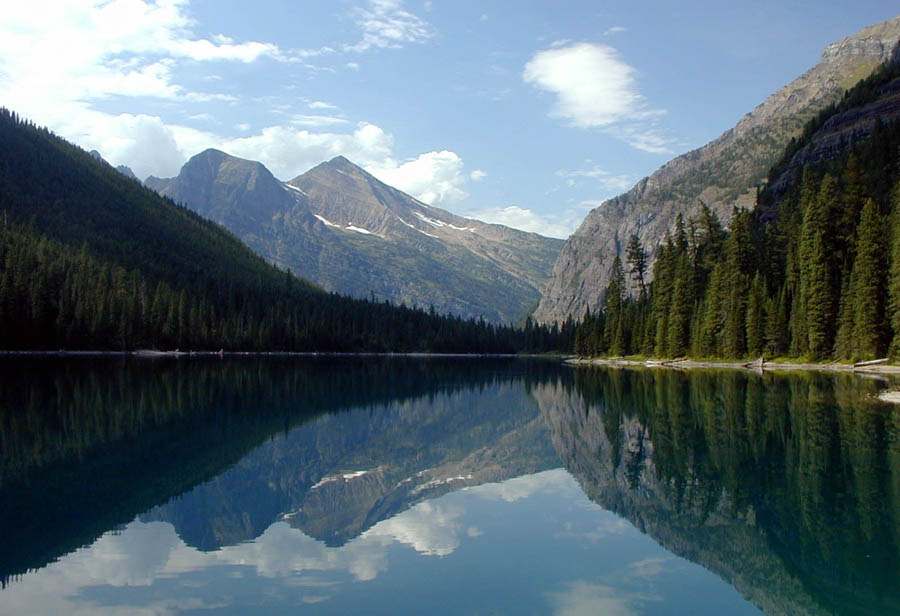
little lake near Iceberg Lake |
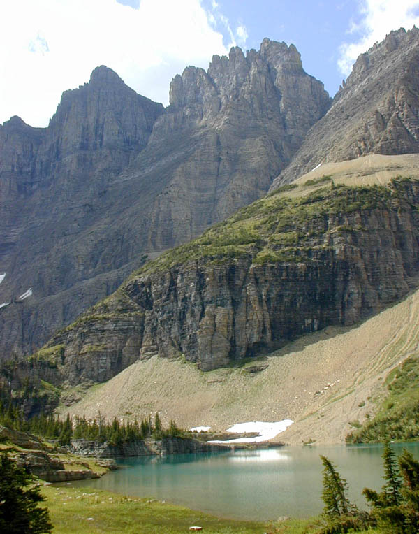
Iceberg Lake; view from trail |

Iceberg Lake |
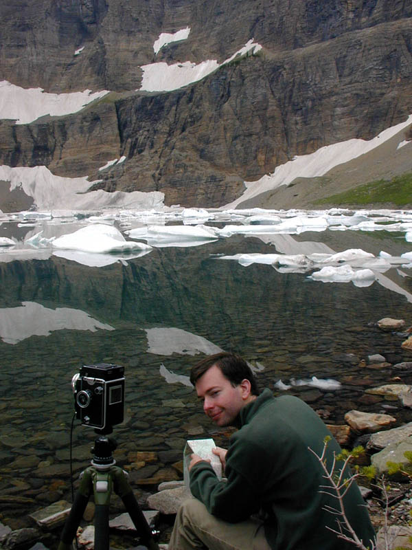
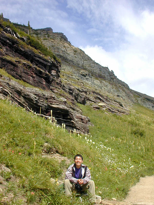
Alan perusing map |
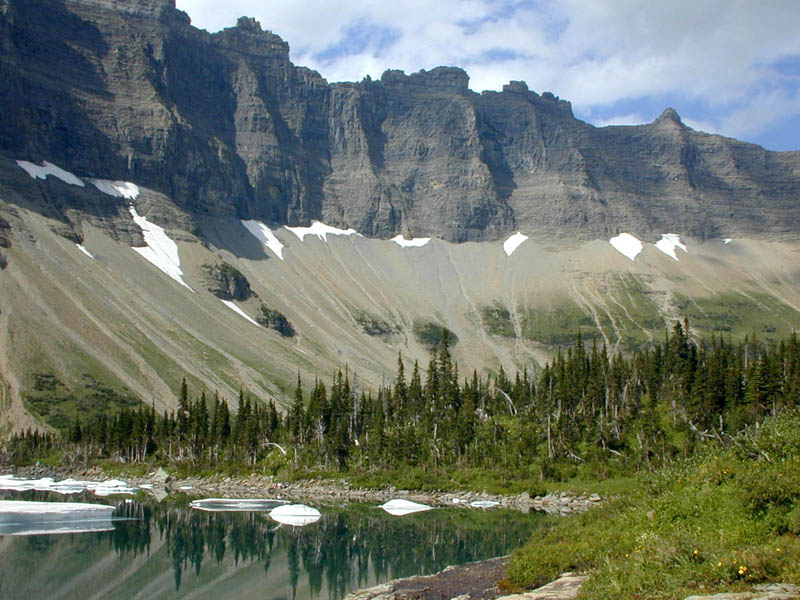
Iceberg Lake |
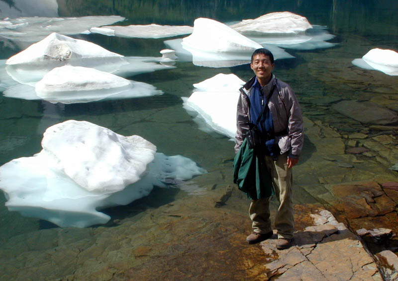
icebergs! |
The lesson of the day is that one must check-in for one's backcountry permit before 10 A.M. We almost lost our reserved camps, but thanks to a printer malfunction the people who wanted our itinerary couldn't get it.
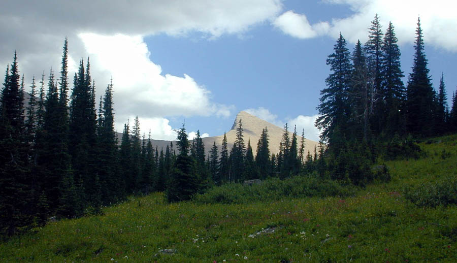
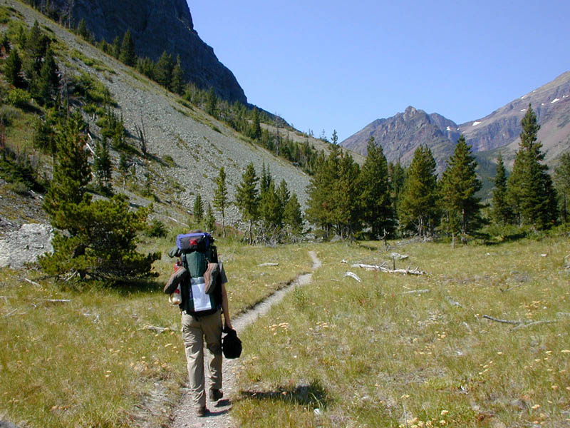
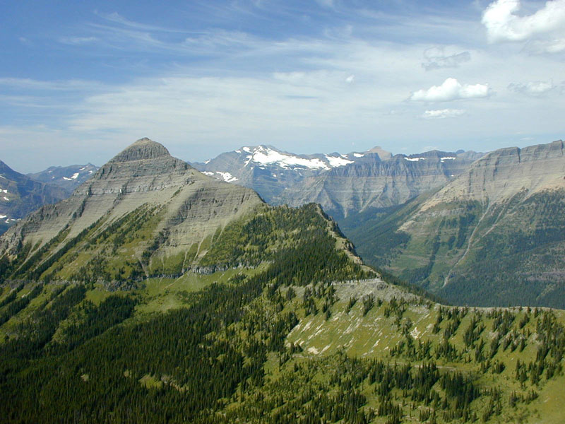
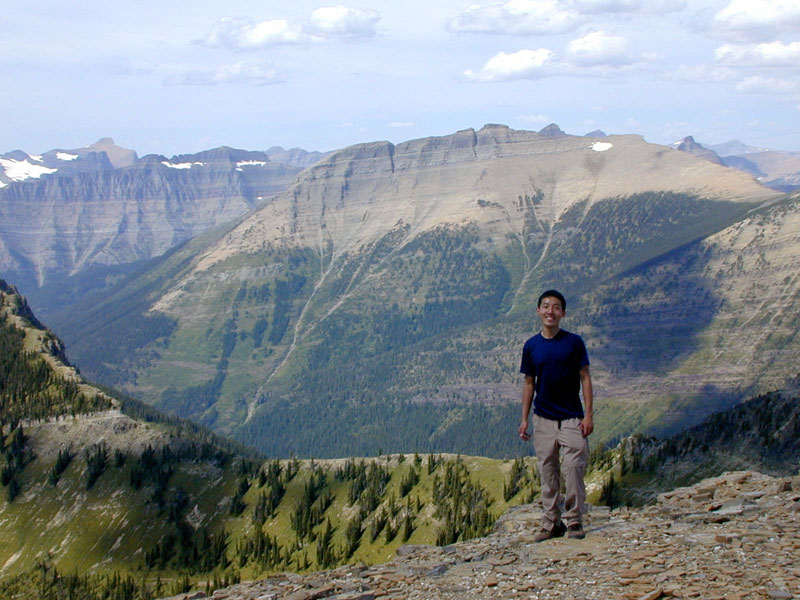
It was a beautiful day to begin our loop--blue sky with just a few puffy clouds. The climb was difficult, especially with large packs on our backs. There were plenty of variety on the trail: forests, alpine meadows, and more open valleys and soaring mountains.
walking on the trail |
brook along the trail |
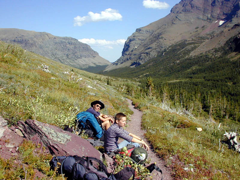
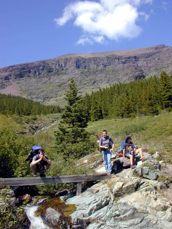
lunch break |
This is day with the most magnificant view. Unfortunately Erik and Julia decided to turn back to the trailhead in the morning, leaving Alan and me to fend for ourselves on the trail.
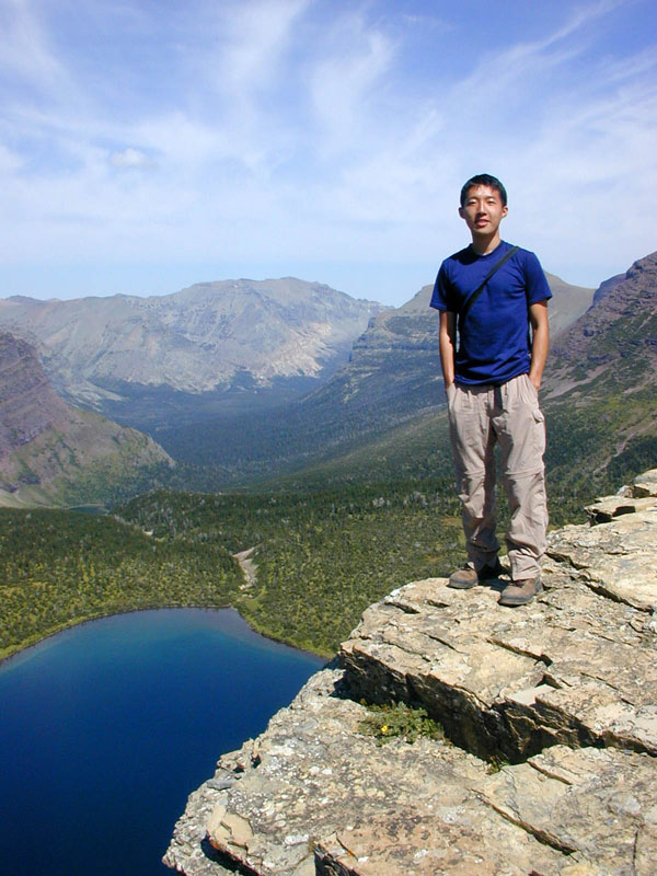
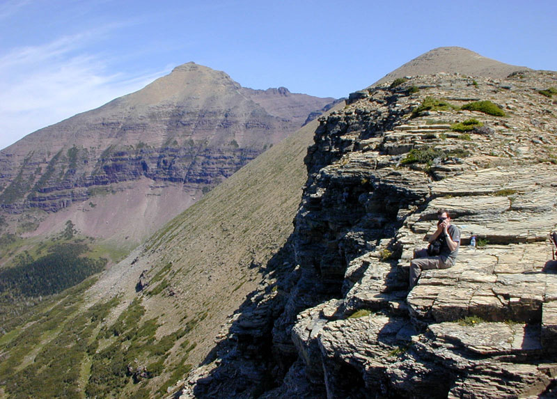
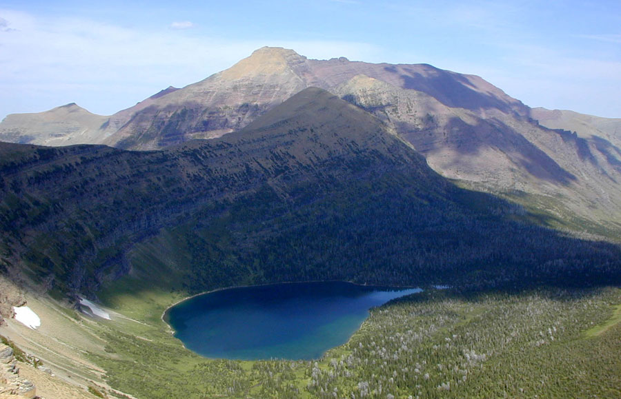
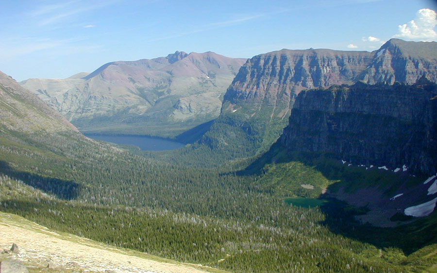
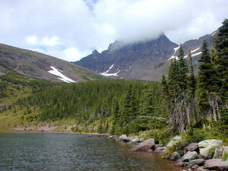
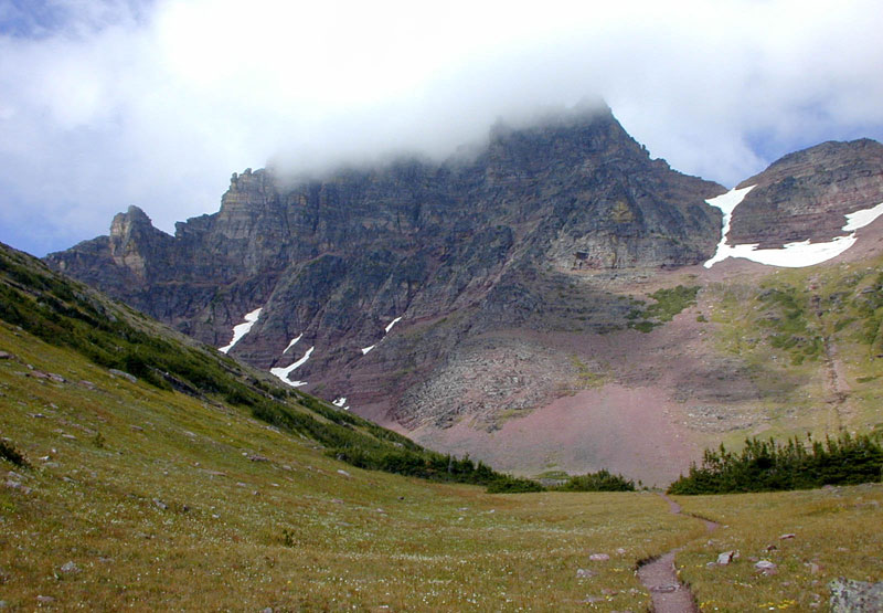
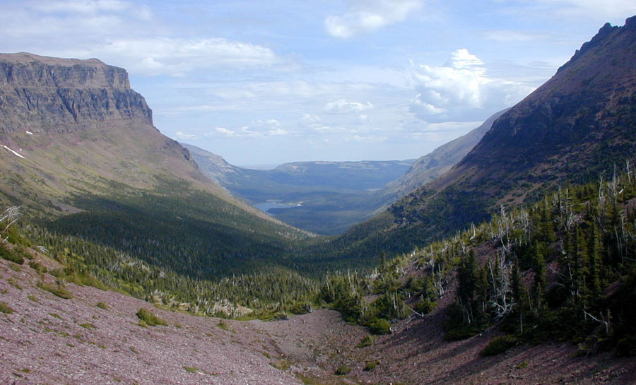
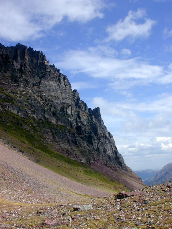
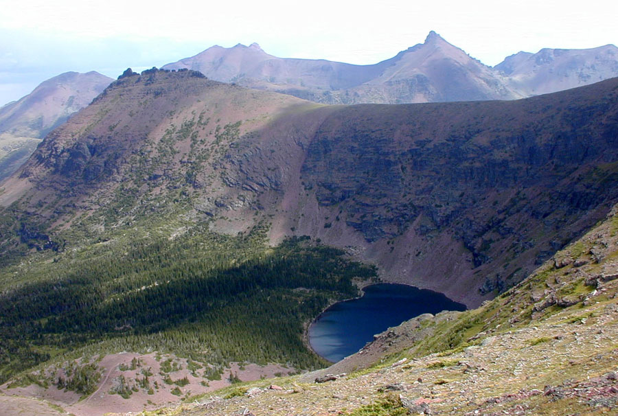
We began on the Atlantic side of the Continental Divide, and soon after the initial ascent, we pretty much had unobstructed view of surrounding lakes, valleys and mountain peaks the whole day. It was quite a pleasant surprise to find the deep blue water of Pitamaken Lake after climing up to the top of the our first ridge, which seemed to drop directly into the lake. After crossing the Cut Bank Pass (sort of) into the Pacific Basin, we walked on a narrow, rocky trail along the barren back side of Flintche Peak, heading toward Dawson Pass. Along the way we got to see our earlier campsite, Old Man Lake, from way up high. At Dawson Pass we crossed back to the Atlantic Basin. The descent from Dawson Pass to No Name Lake was quite steep, and we were glad that we had arranged our hike in this direction.
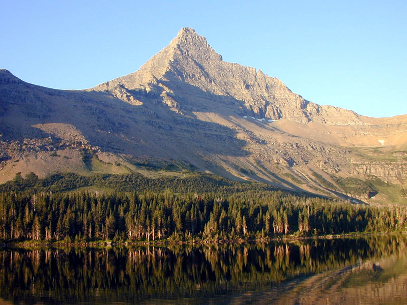
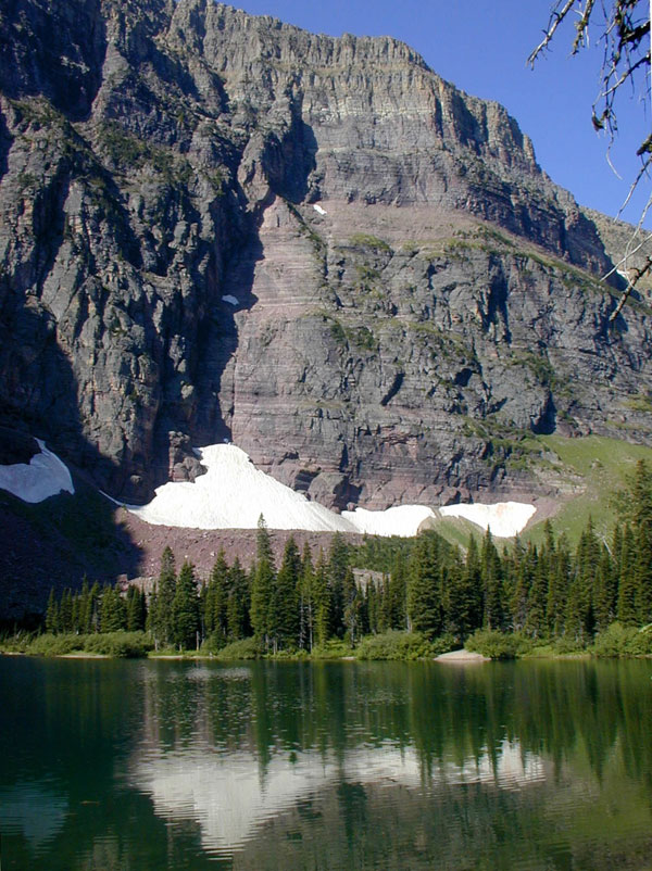
early morning at Old Man Lake |
Old Man Lake, view higher up |
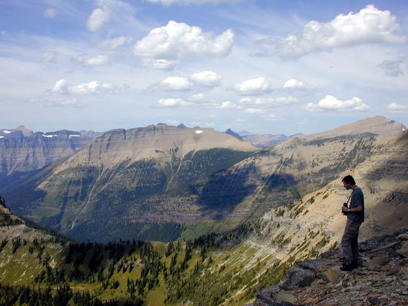
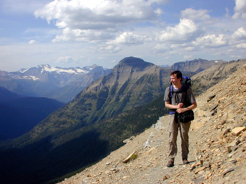
on top of first ridge |
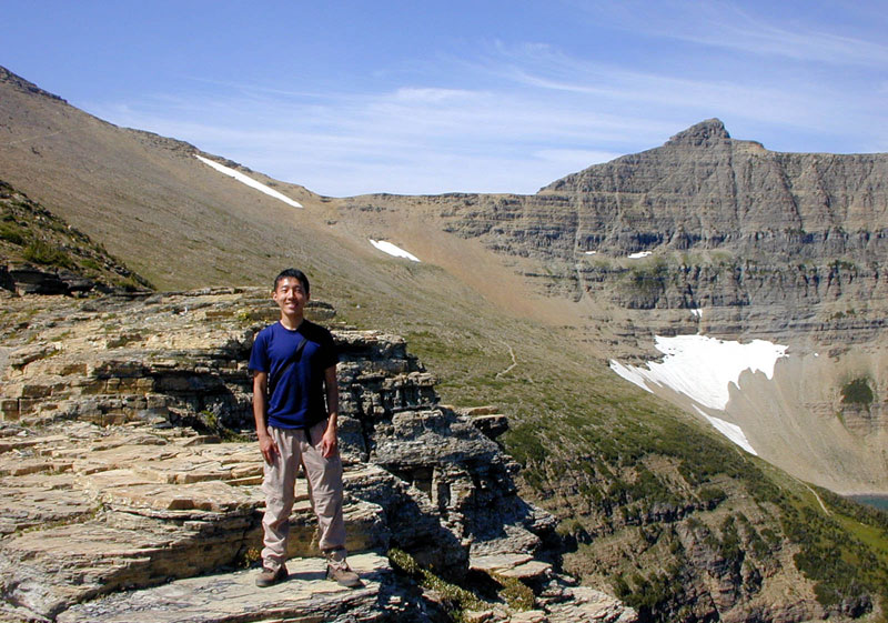
on top of first ridge |
on top of first ridge |
on top of first ridge |
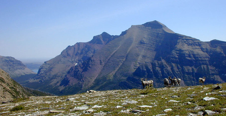
more goats |
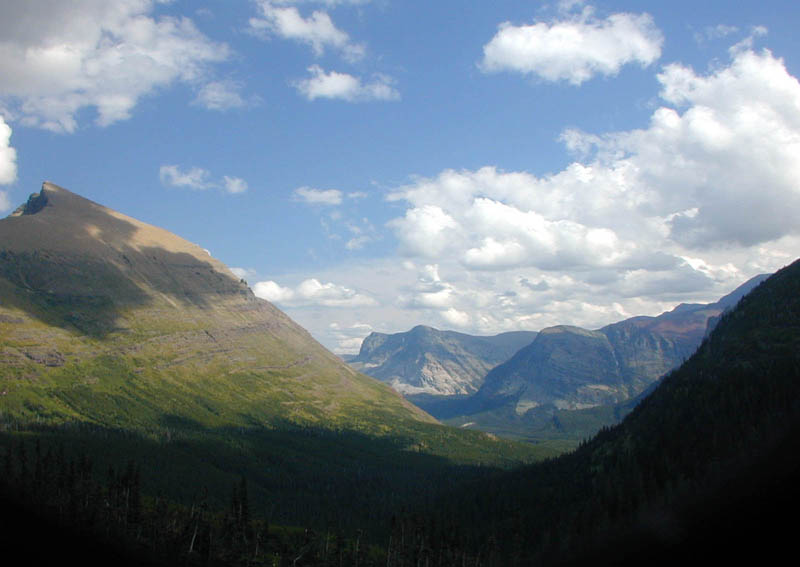
view at Cut Bank Pass |
view at Cut Bank Pass |
panoramic view at Cut Bank Pass |
||
I'm on the Continental Divide! |
Alan is on the Continental Divide! |
between Cut Bank and Dawson Passes |
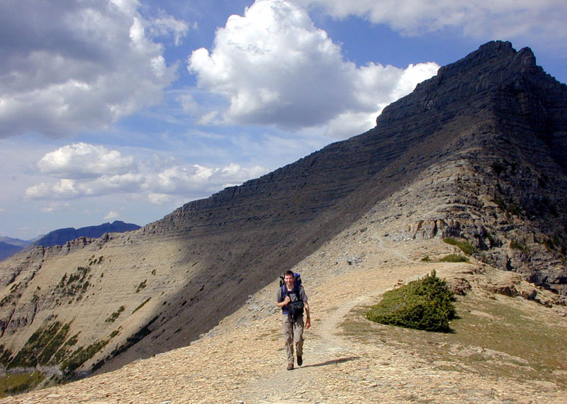
between Passes |
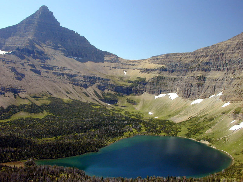
Old Man Lake, again |
view at Dawson Pass--
Atlantic side |
The whole day threatened to rain, so we hiked as fast as possible to Cobalt Lake. The trail takes us pass a few waterfalls and around the middle Two Medicine Lake, and we bumped into many folks taking the boat ride from the Two Medicine camp.

sun rising at No Name Lake camp |
No Name Lake |
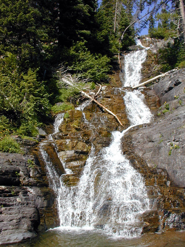
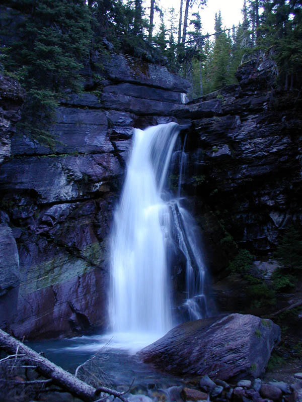
Twin Falls |
Twin Falls |
Rockwell Falls |
sun setting at Cobalt Lake camp |
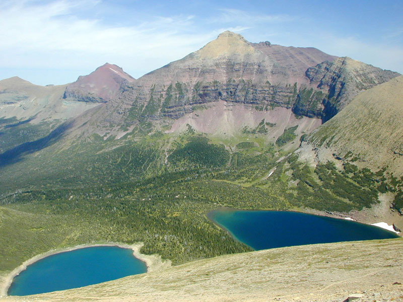
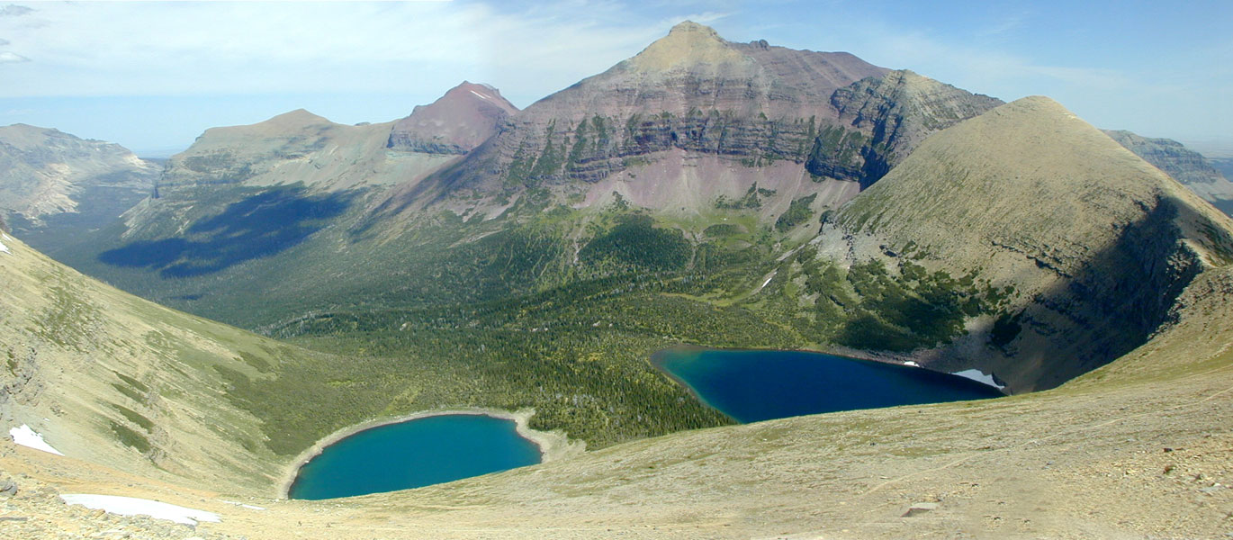
We were planning for a quick hike up toward Two Medicine Pass in the morning, but we woke up to a steady downpour. The rain eventually stopped later in the morning, and we decided to go for it anyway. So we hiked up toward the Continental Divide again, this time without the cumbersome packs. Naturally the view was awesome, and it was neat to be able to see the tiny speck of blue that was our tent.
After a quick lunch along Cobalt Lake shore, we started heading back toward Two Medicine. It was an easy downhill hike all the way back, and we arrived at the camp without much fanfare late in the afternoon.
Cobalt Lake |
closer view |
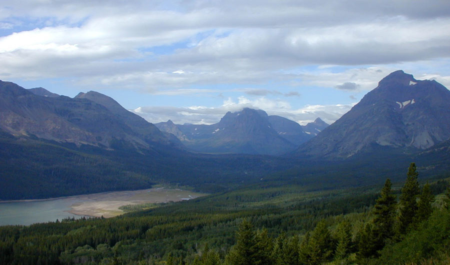
view of Two Medicine Valley |

view of Two Medicine Valley |
view of Sinopah Mountain |

on the C. D. again |
view of Cobalt Lake |
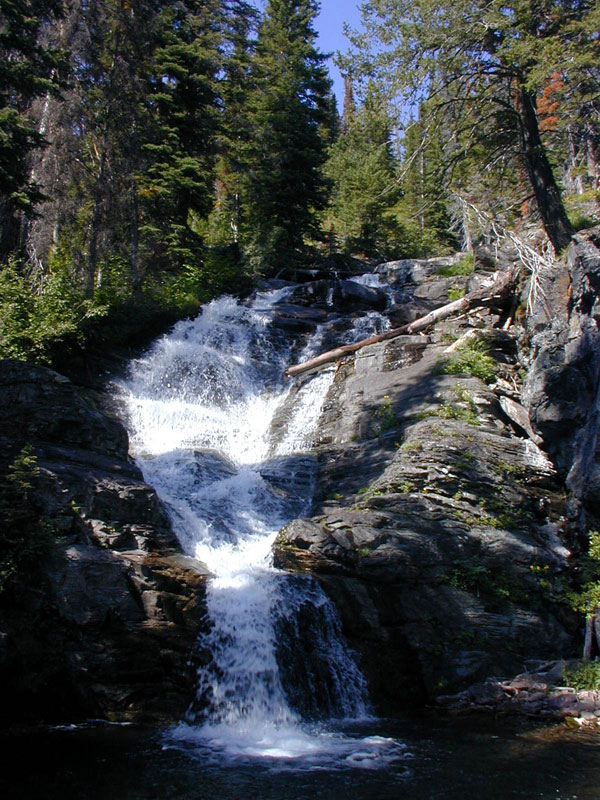
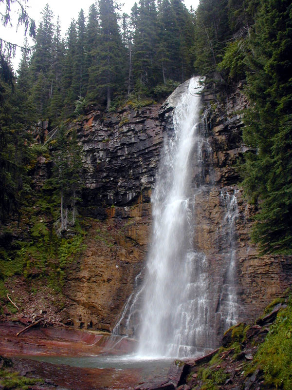
Aster Falls |
view near trailhead |
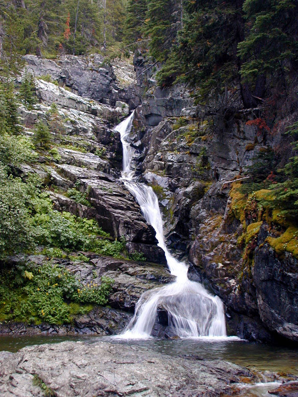
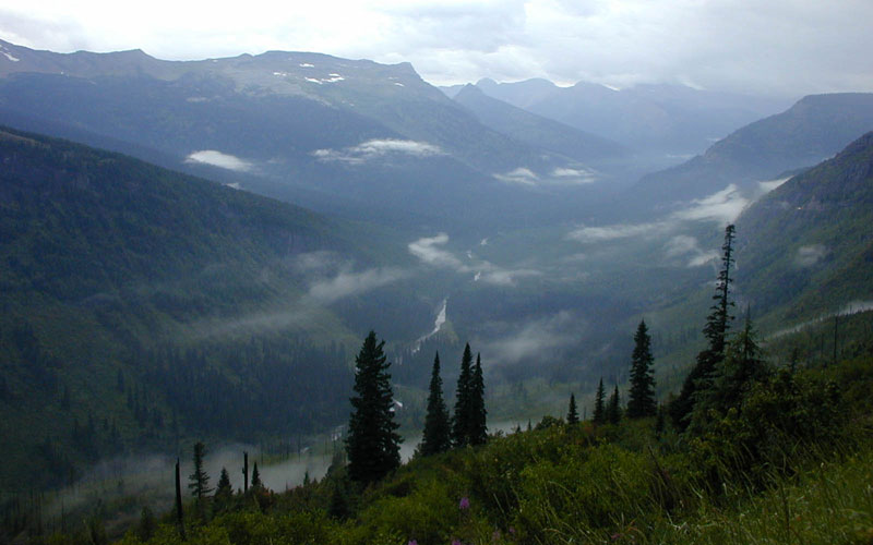
We had plans to do a long dayhike into the Grinell Glacier, but it didn't happen because I developed a headache, perhaps from the drizzle that went on most of the day. Instead we did the much easier hike to the waterfalls, and it turned out to be a pretty charming trail--in addition to the two main falls, the trail was lined with smaller rapids and waterfalls to keep us entertained.
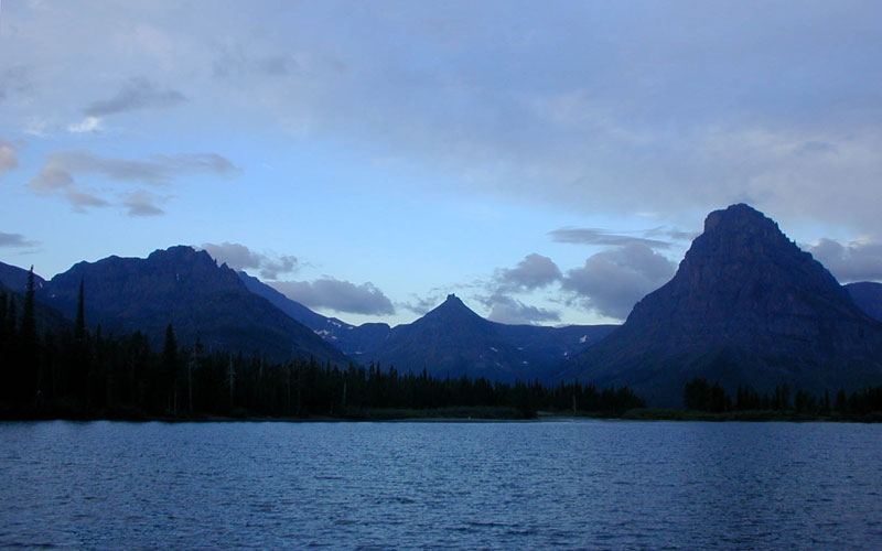
morning light at Two Medicine |

St. Mary Falls |
Virginia Falls |
St. Mary Lake |

Sun Point |
Sun Point |
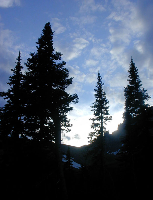
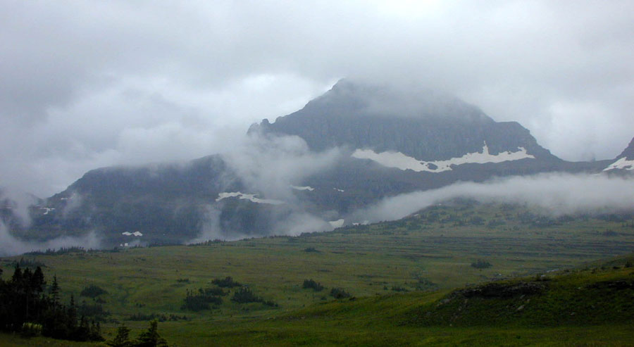
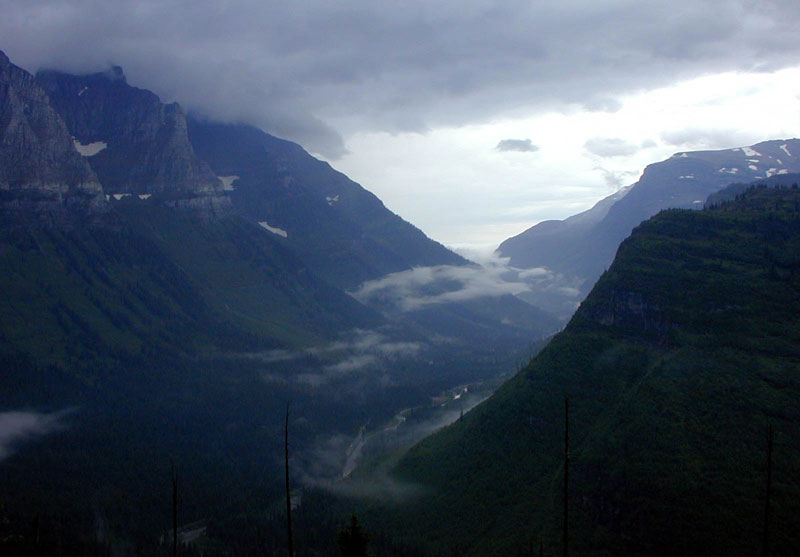
Our last day was another cold, drizzly day. We drove to Logan Pass with the intention of hiking toward Hidden lake, but instead we just visited the Visitor Center. The surrounding mountains looked very different from the first day, with low cloud hanging on their sides.
Goose Island |
Logan Pass |
along the Sun |
along the Sun |
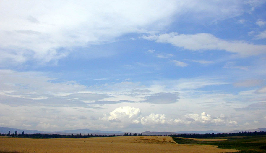
along route 2 |
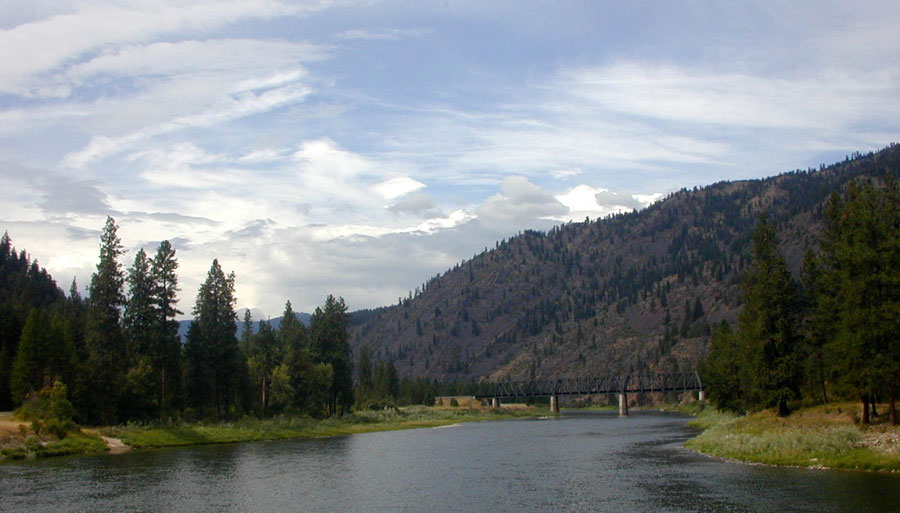
along route 59 |

|

|
all images © James Tung, 2001-2008