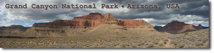
all images © James Tung, 2001-2008
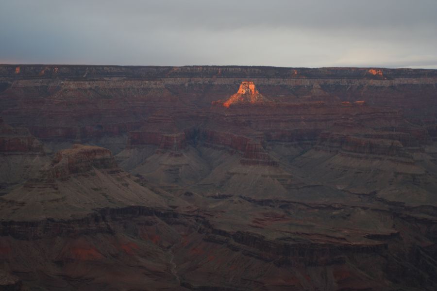
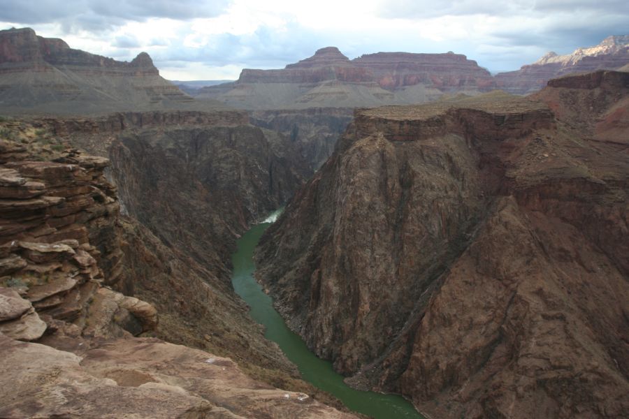
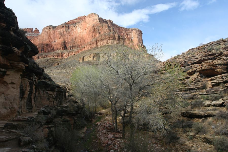
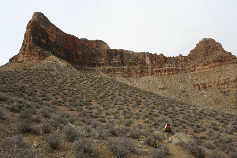
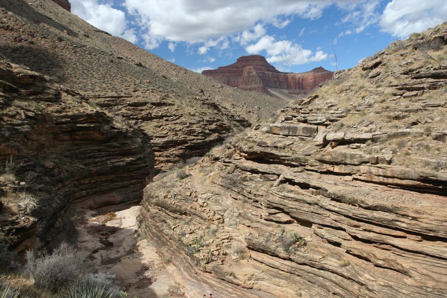
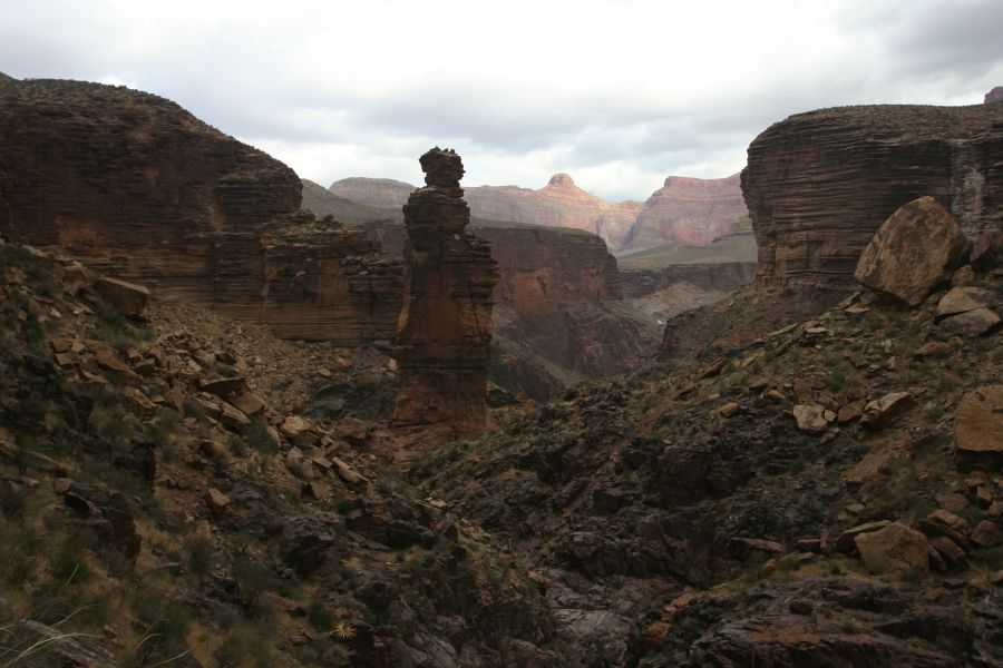
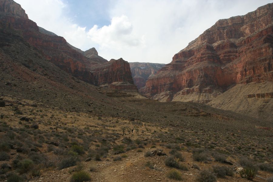
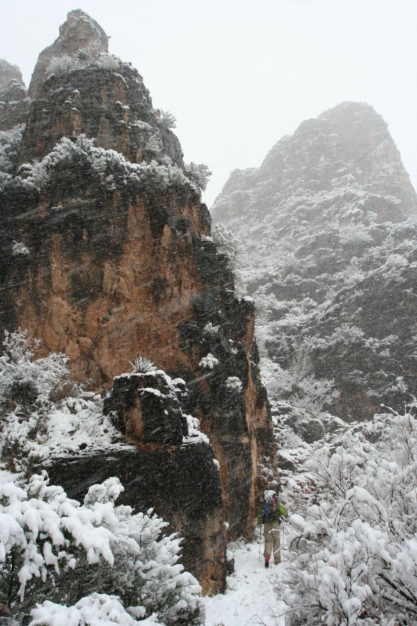
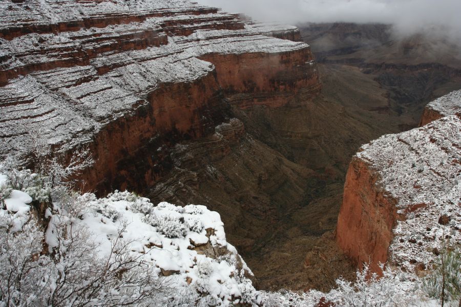
Tower of Set; view from Tonto Trail
In March, 2006, Mike and I made a 5-day traverse in the Grand Canyon National Park. It was still quite cold in early March, with snow flurries and showers here and there during the whole week, ending with a significant chunk of snow on the last day of the hike. With the cold weather and barren terrain, it felt a bit like hiking in the high mountains, which was perhaps not the typical canyon hiking experience.
Here are links to the National Park's main page and some maps. The backcountry information page contains detailed trail description. The website kaibab.org also has very detailed trail info, as well as topo maps (with linked photos!). Mike's take on the trip can be found on Mike's webpage.
Whenever I can manage to figure it out, the rivers that carve the particular canyons in a photograph are in brackets.
We arrived at Grand Canyon Village (6860 feet) late afternoon, after a very early morning start in Ann Arbor. We took it easy, and drove around to get familiar with the Village and hang out with the tourists. The sun broke through the clouds for a moment for some nice photo op.
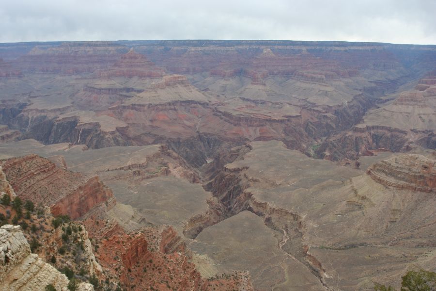
view from Mather Point |
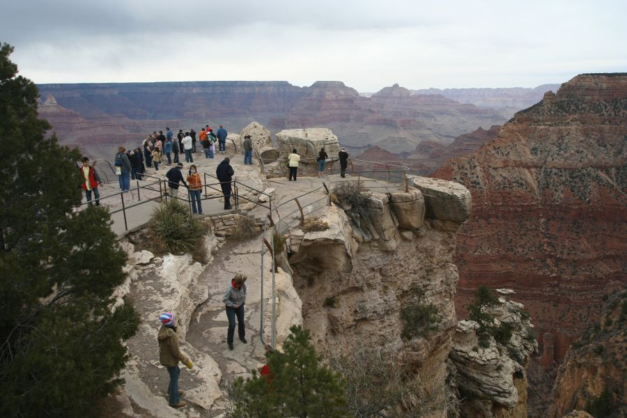
tourists at Mather Point |
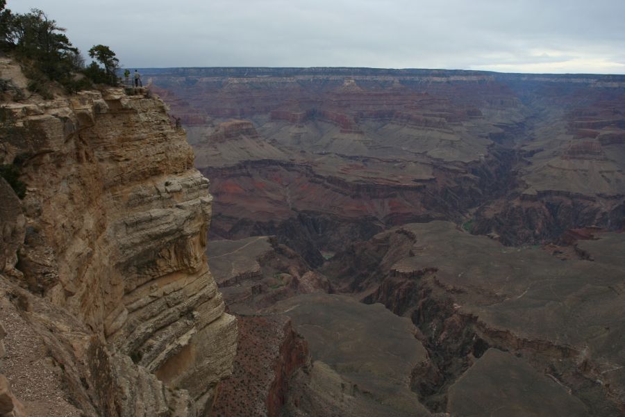
near Yavapai point |

Yavapai point |
sunset at Yavapai point |
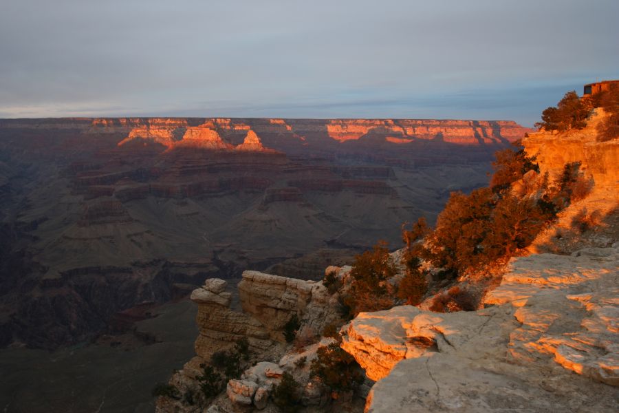
sunset at Yavapai point |
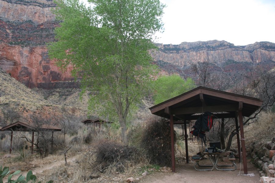
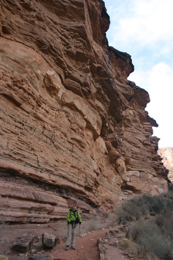
This was the beginning of our hike into the canyon. The mules that carry people down the canyon also use the Bright Angle Trail, so the trail was broad and very easy to walk on, as long as one avoided the mule poop scattered along the trail. The smattering of bright green that marked Indian Garden camp (3760 feet) was visible from a long distance away, so we knew exactly where we were headed.
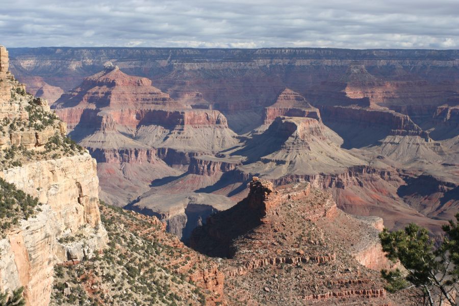
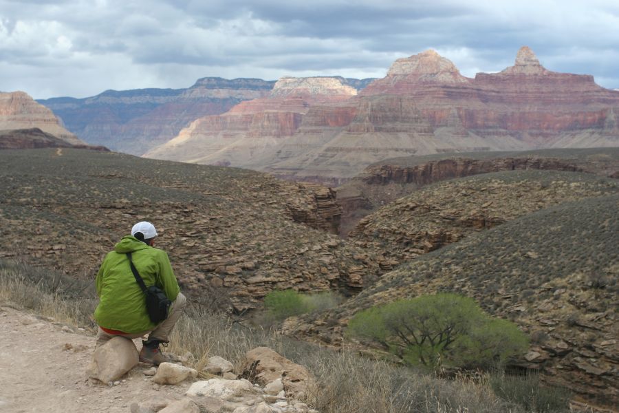
After taking a short nap, we made a late afternoon excursion to Plateau Point (3860 feet) for some fine view of the Colorado river. We might have even seen some of those endangered California condors.
view near trailhead; |

walking down... |
further down... |
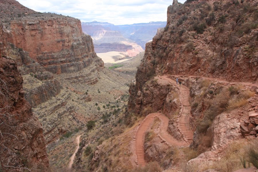
switchbacks |
very civilized |

mule convoy |
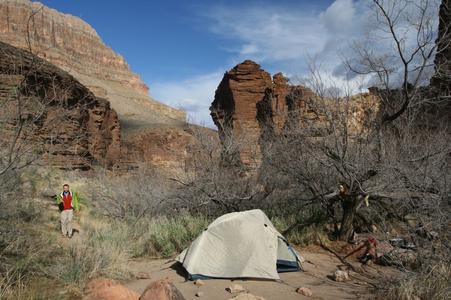
camp; still civilized |
view of plateau |

Plateau Point |

view from Plateau Point |
view toward the west |
heading back to camp; |
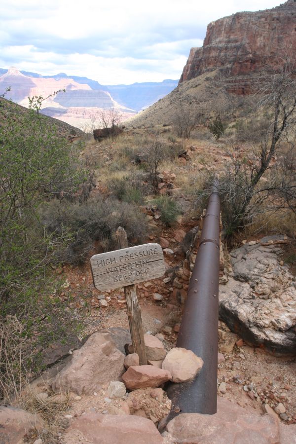
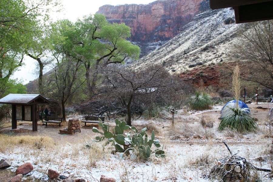
We planned to stay for two nights at Indian Garden, so we could make a dayhike down to the Colorado River (2400 feet) without packs. It was actually a 10-mile hike, which felt a little hurried with the amount of daylight available in early spring.
It had stormed throughout the night, and in the morning there was a small puddle outside Mike's side of the tent, as well as a dusting of snow on the ground. The white patches were a nice addition to the layers of rock formation.
snow! |
foggy morning |
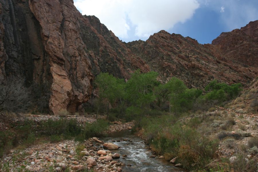
Indian Garden Creek |
along the creek |
switchbacks; Pipe Creek |

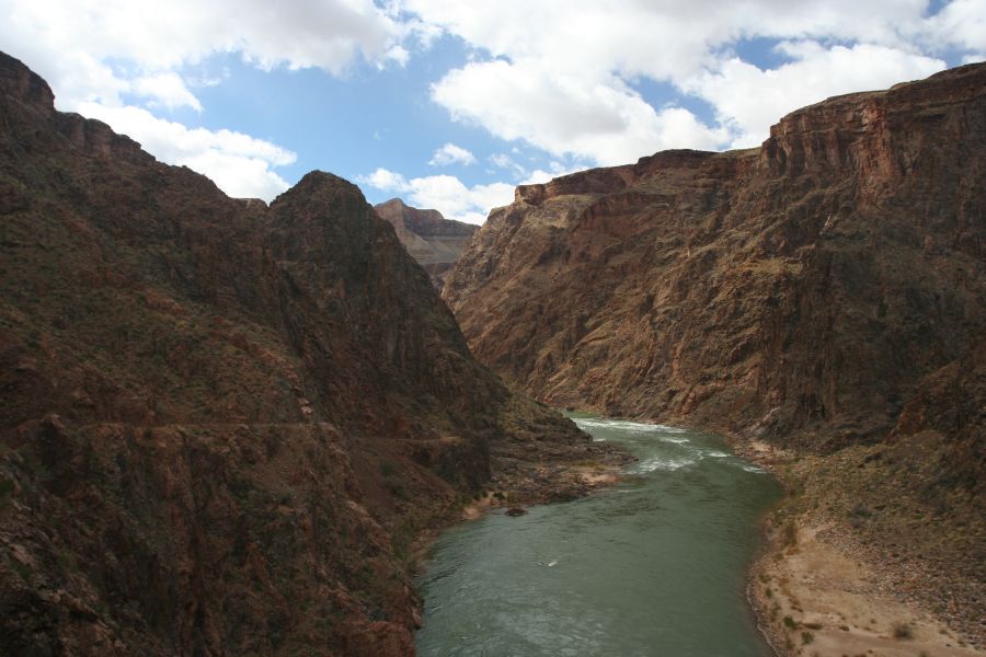
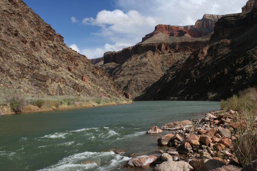
Colorado River near the |
near the mouth of Pipe Creek |
view on River Trail |
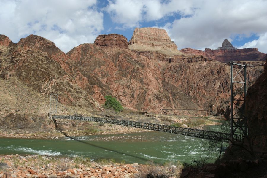
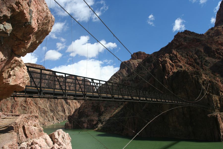
Silver Bridge |
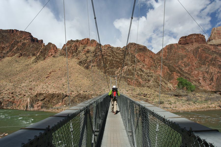
on the bridge |
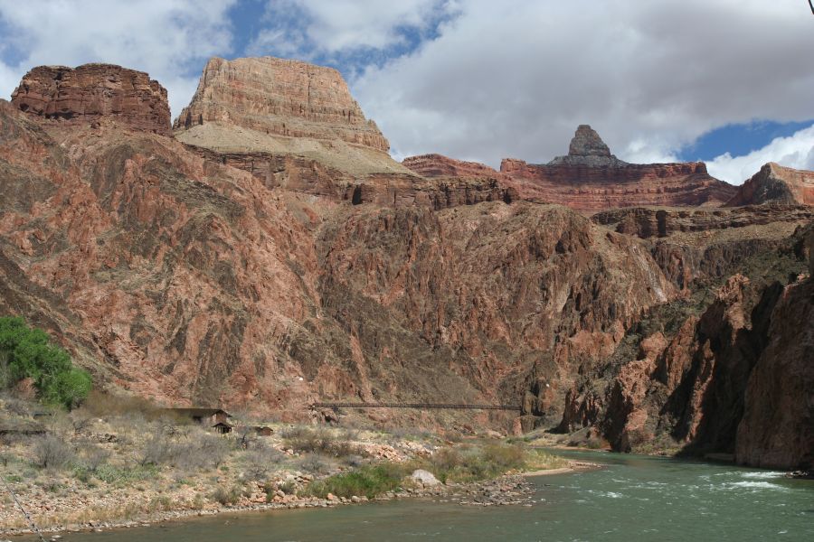
Black Bridge |
Bright Angel Creek |
Black bridge |
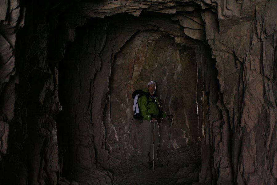
tunnel |
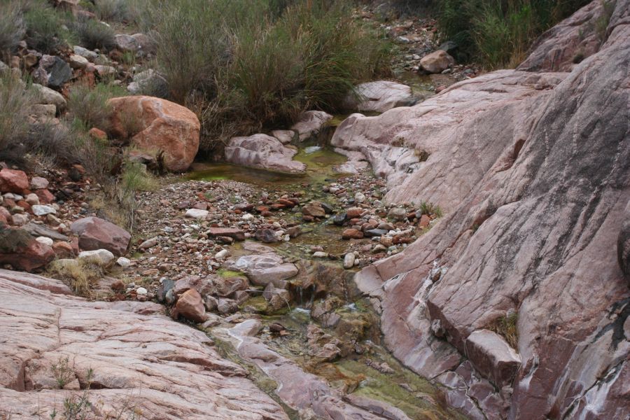
Pipe Creek |
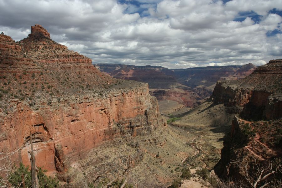
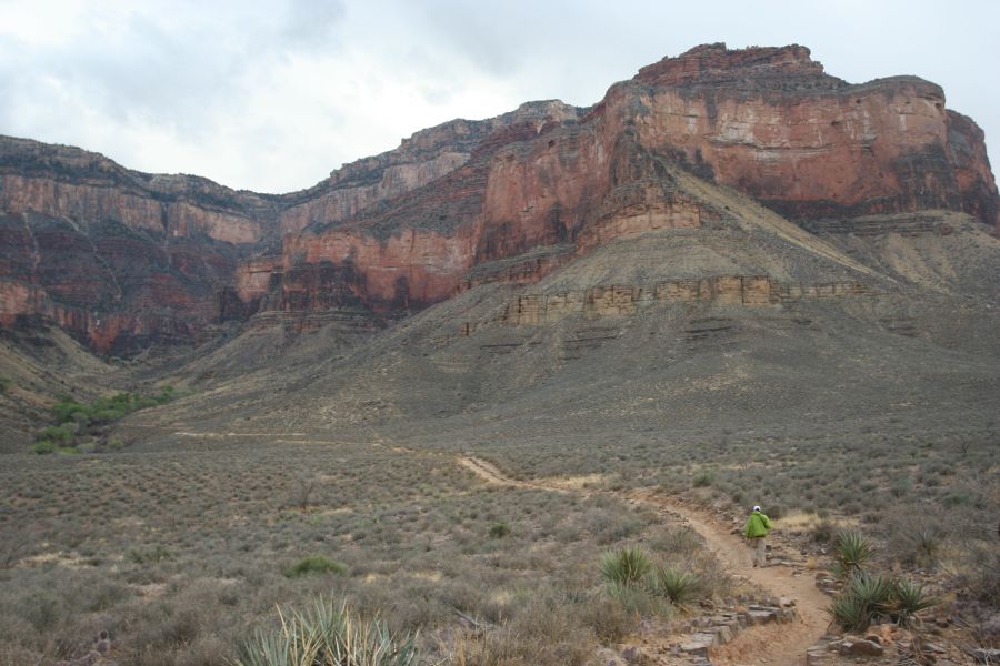
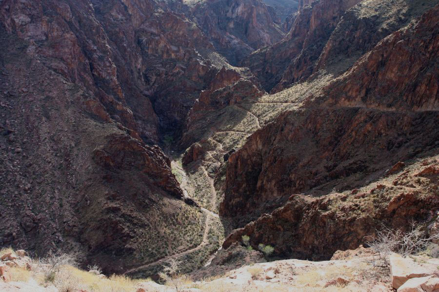
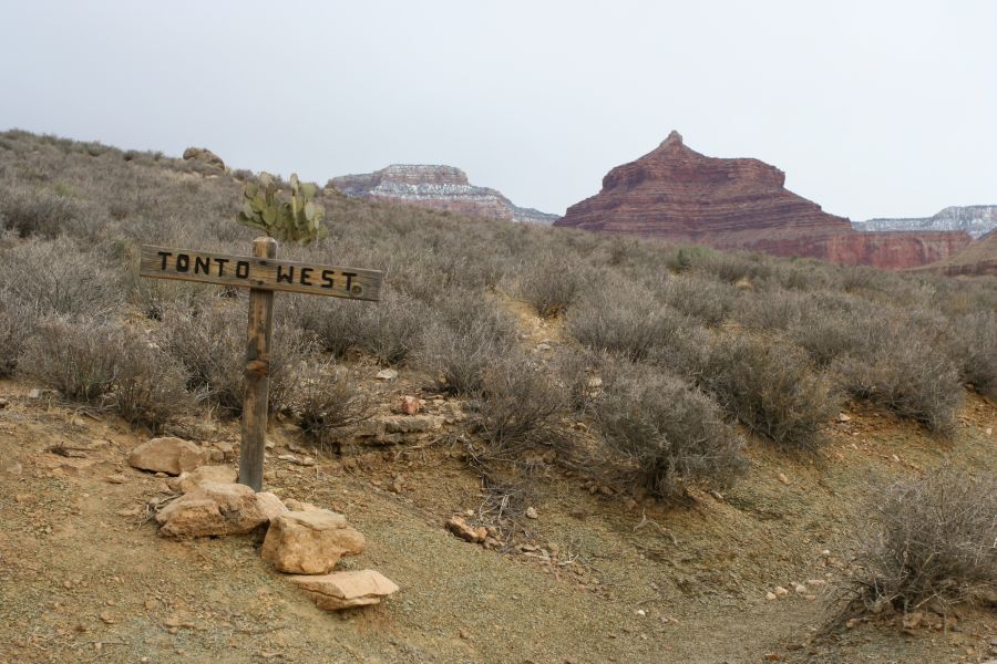
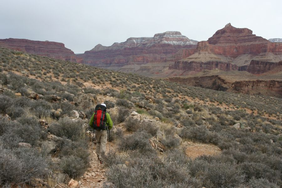
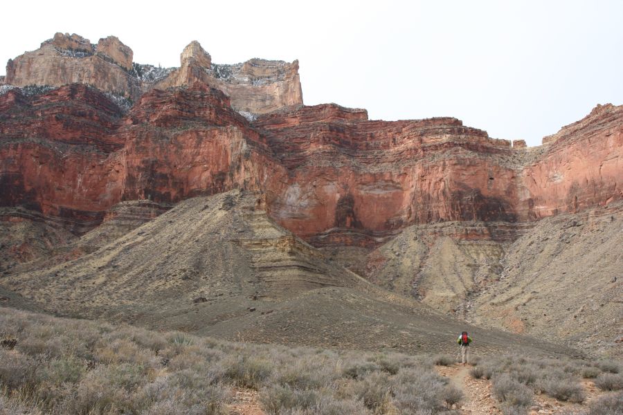
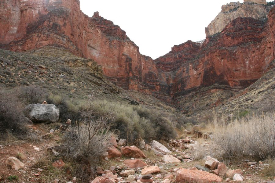
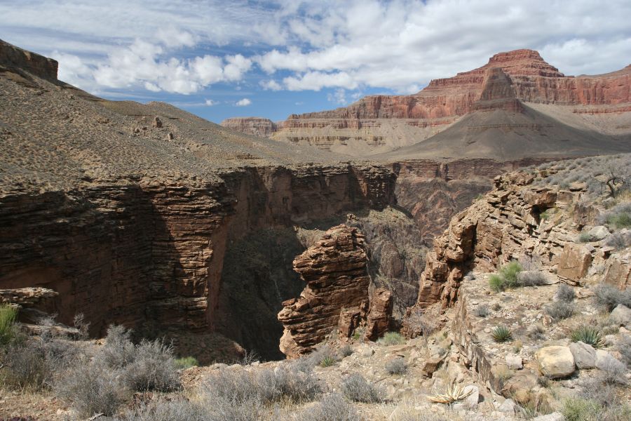
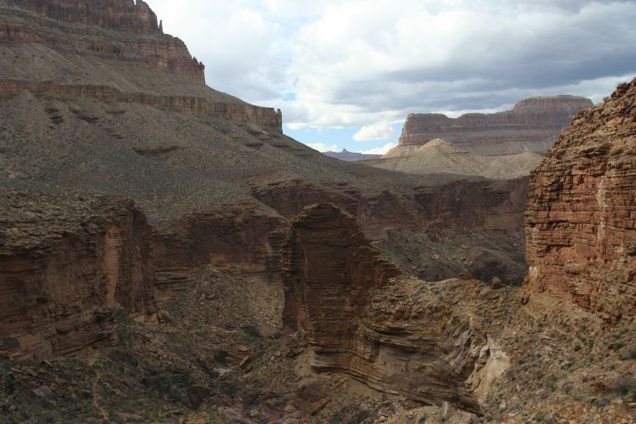
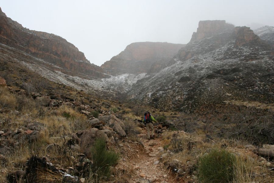
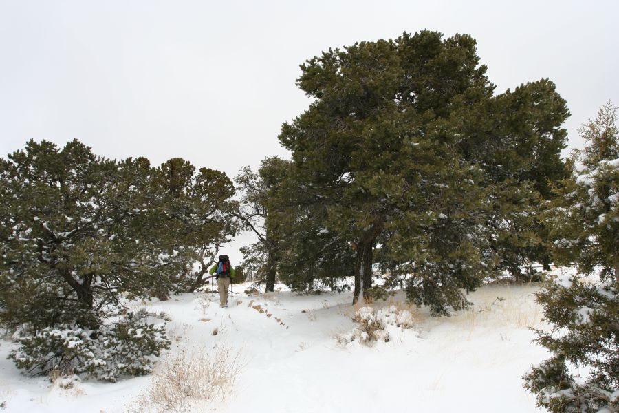
This day was our longest hike, approaching 11 miles. Basically we needed to get to the next available water source along the Tonto Trail, which means walking around several large buttes that protrude into the Tonto Platform.
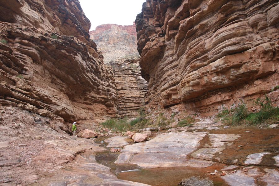
The Tonto Trail was much more rugged than the Bright Angel Trail. Cairns were needed whenever the trail descended into a rocky riverbed.
Tonto Trail |
hiking west |
Battleship Butte |
Horn Creek (dry) |
Dana Butte |
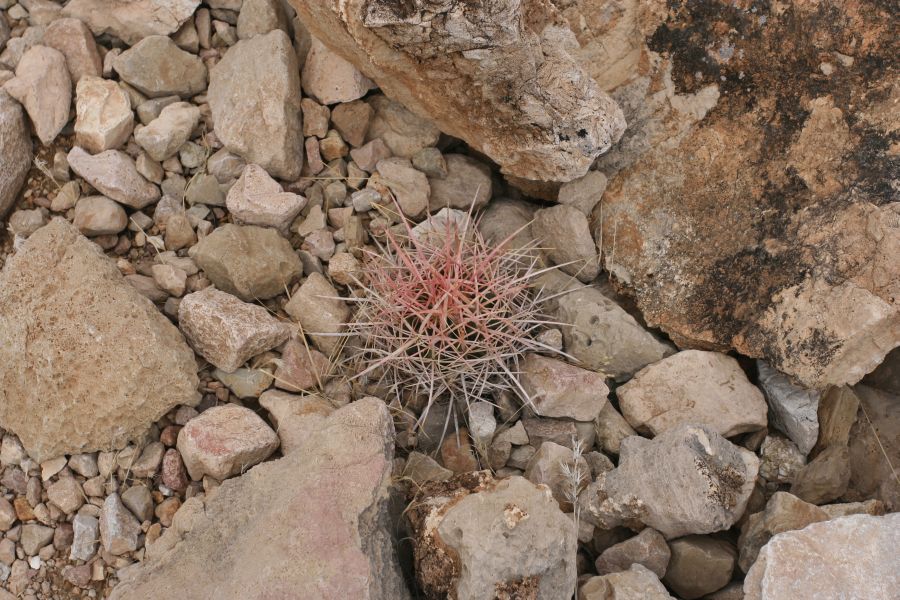
hardy plant |
another river view |
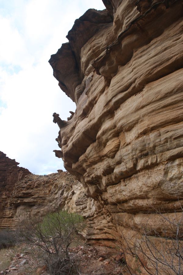
rock formation near Salt Creek |
Salt Creek (dry) |
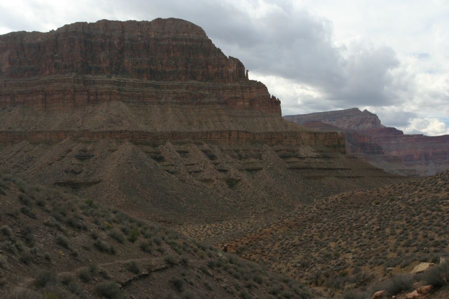
Cope Butte; Monument Creek |
rock formation near Monument Creek |
near Monument Creek |
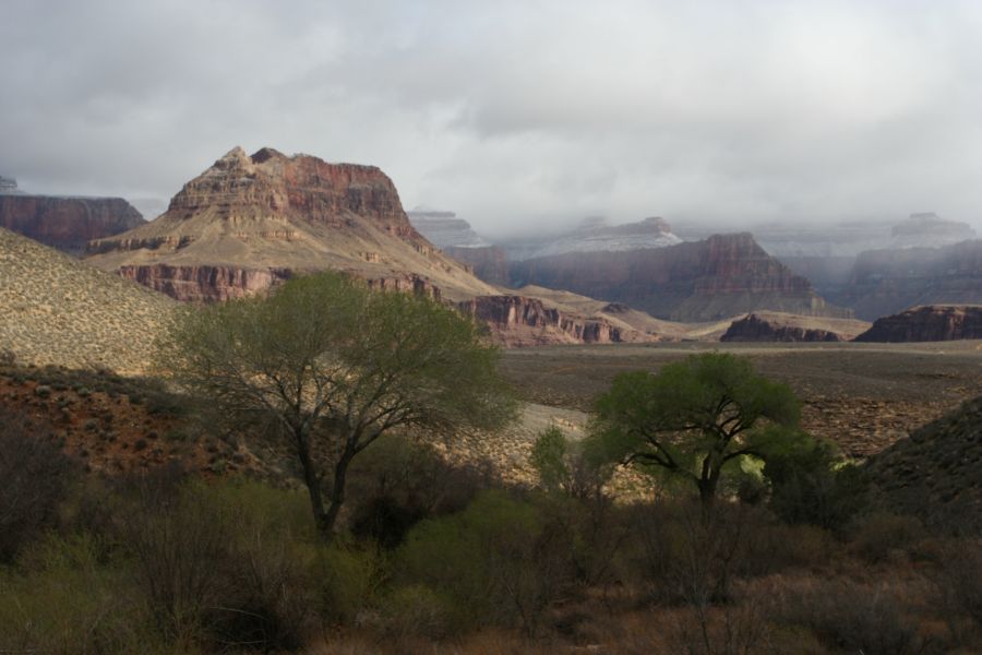
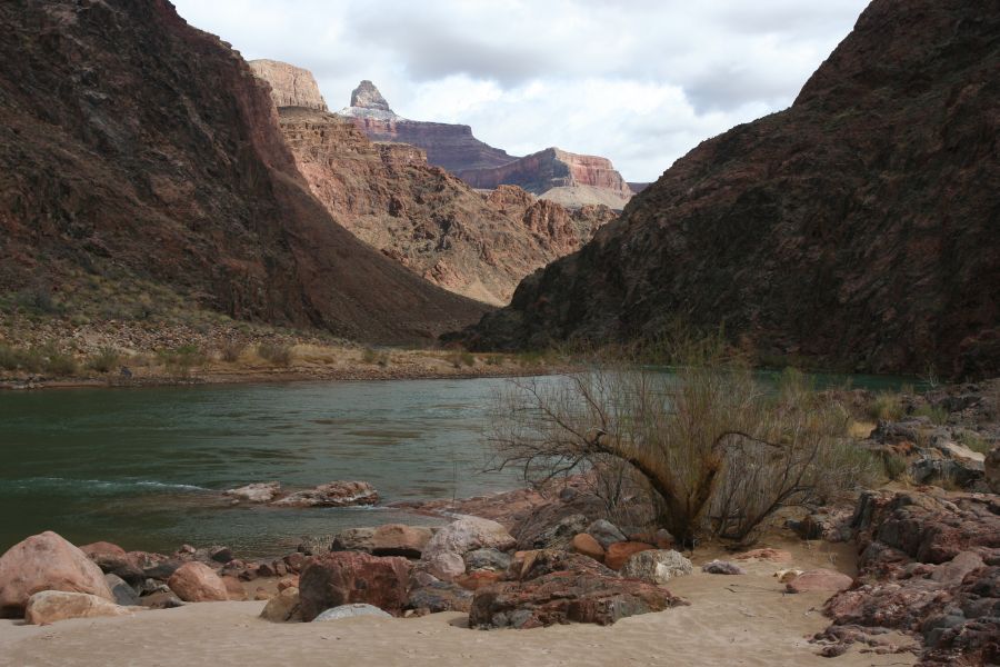
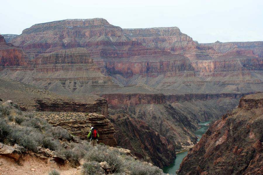
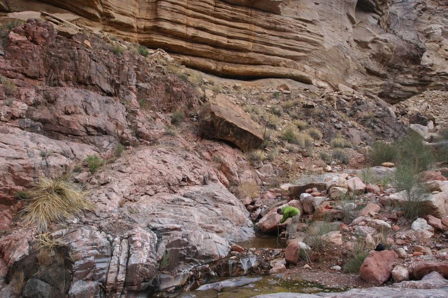
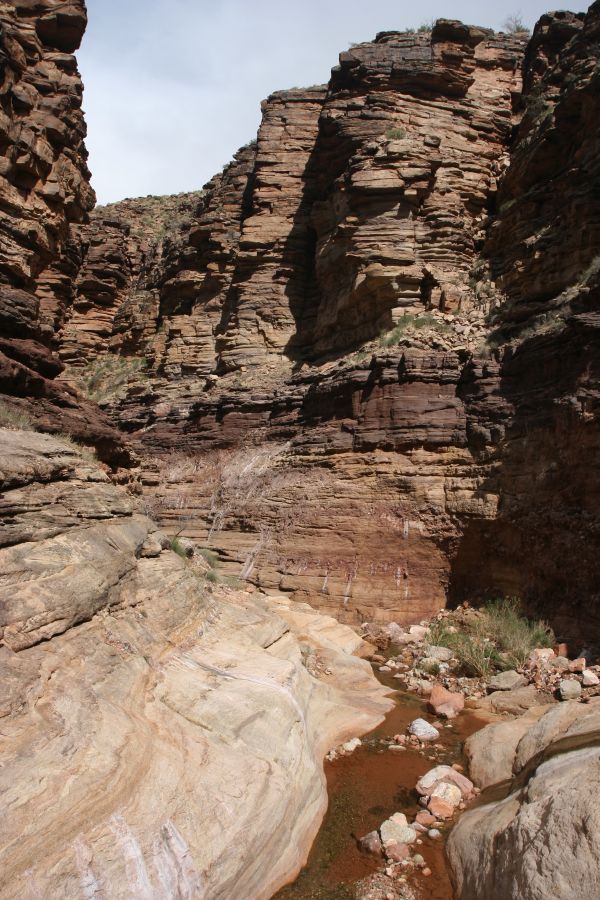
We made a short hike to the next water source on the Tonto Trail, which was Hermit Creek. After arriving at camp we decided to check out the Colorado River for the last time. The trail to the river basically follows Hermit Creek, and the part close to camp was a beautiful gorge carved by the creek.
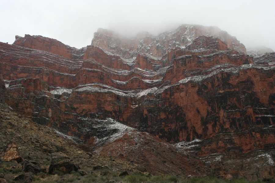
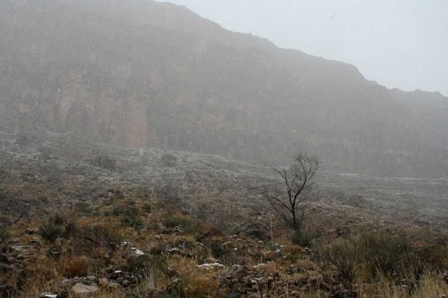
There were intermittent snow showers all day long, foreshadowing what's to come the next day. The sun did come out for a short time as we reached the Colorado River, where we spent a few hours enjoying the sight and sound of rapids.
camp |
water point at Monument Creek |
the Monument |
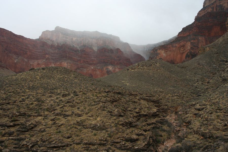
snow coming in |
plain after Cope Butte, before Hermit Creek |
Hermit Creek |
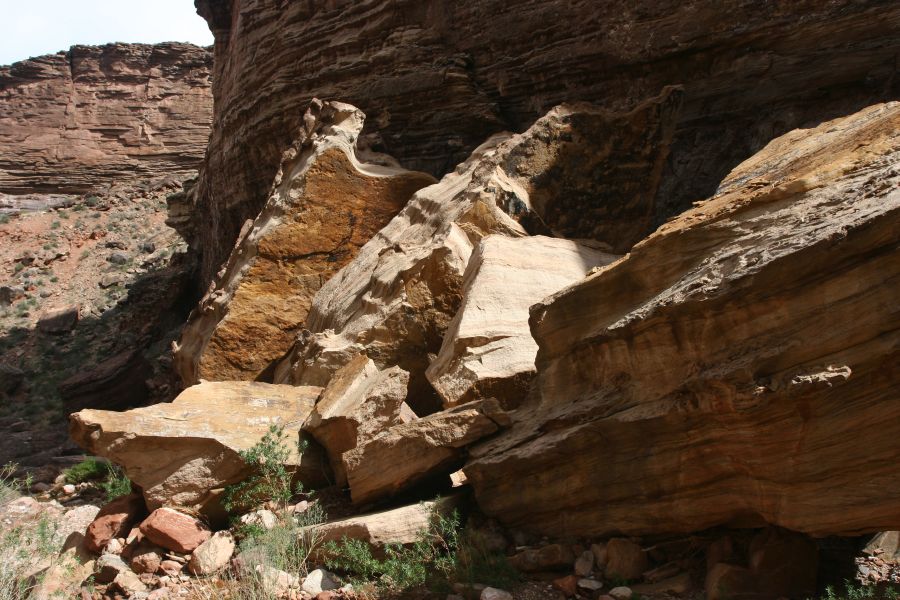
big chunk of fallen rock |
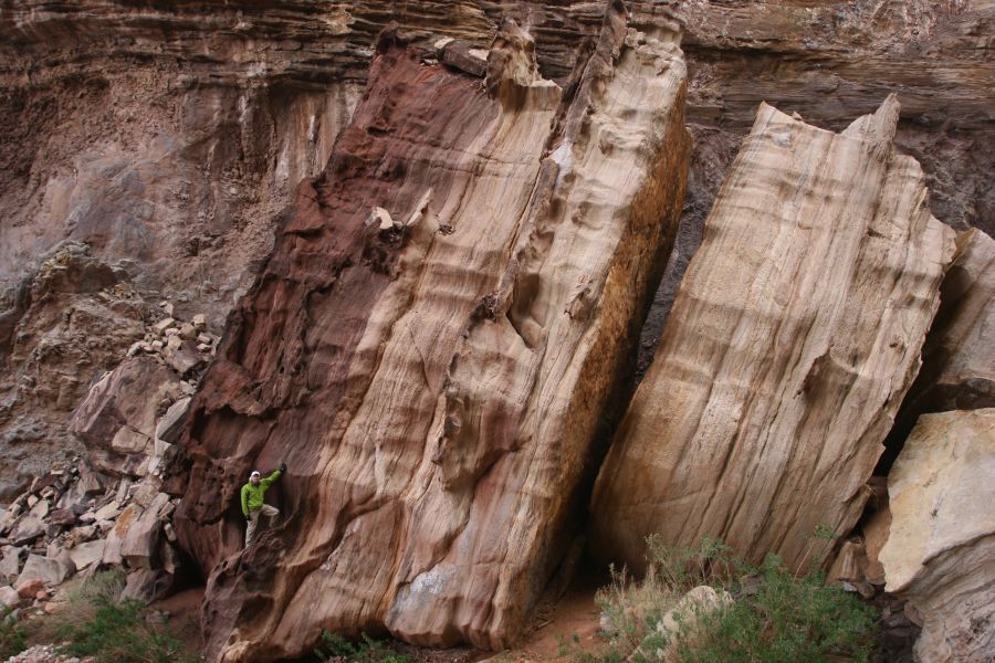
Mike with rock |
river view at Hermit Rapids |
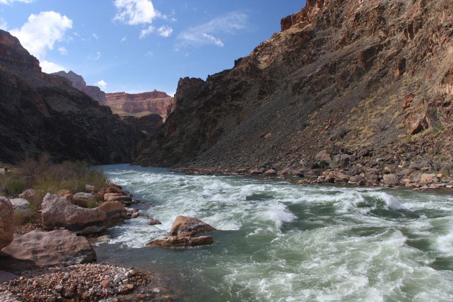
rapids |
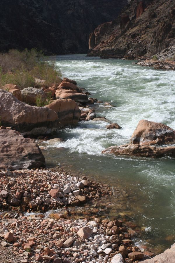
rapids |
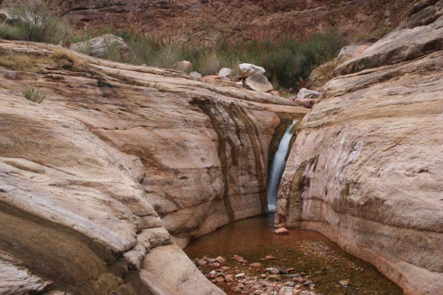
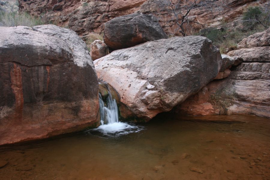
small waterfall in the creek |
Hermit Creek |
water point |
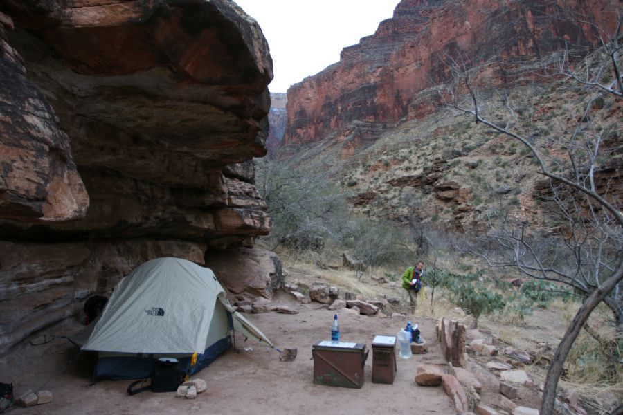
camp |
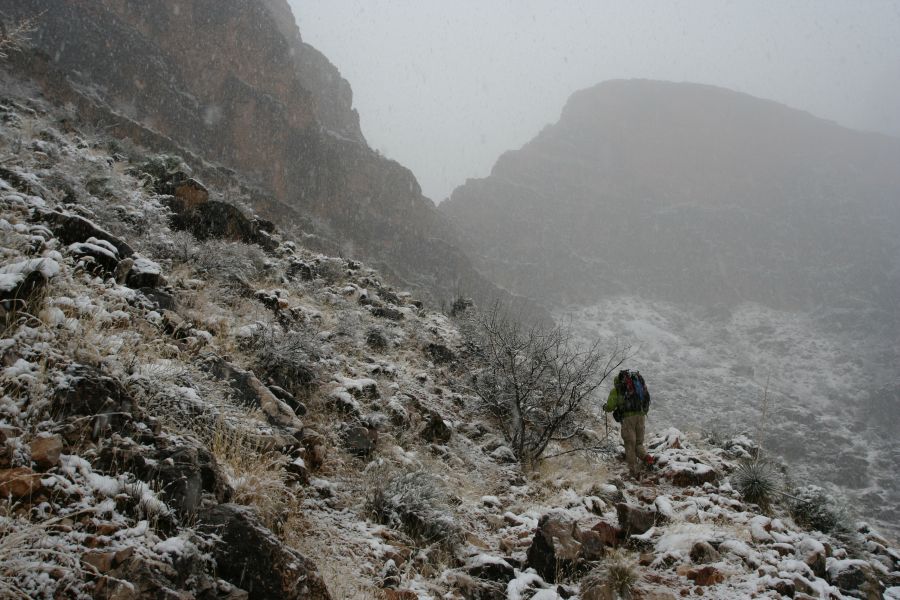
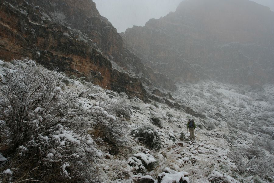
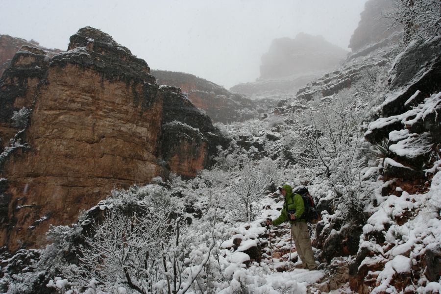
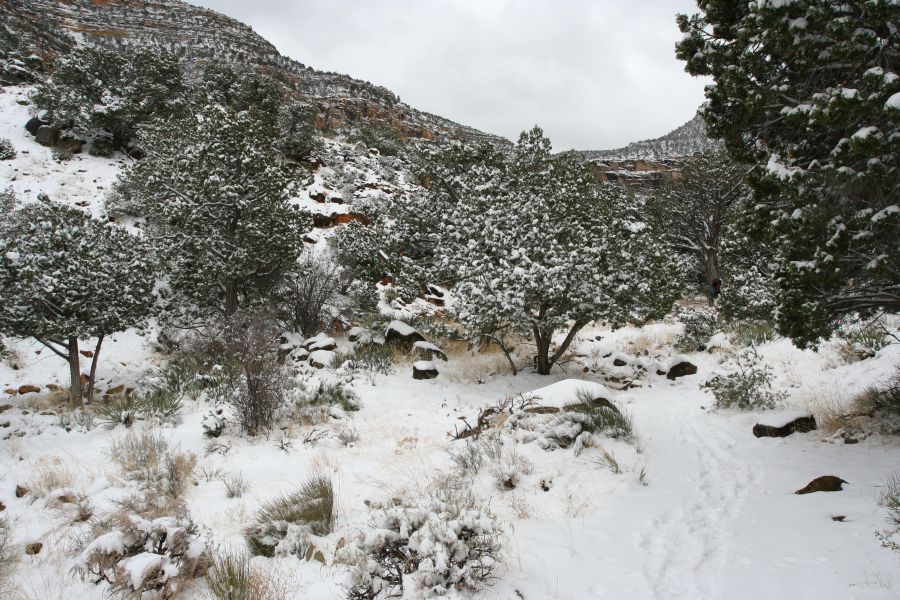
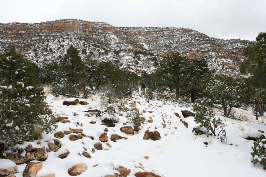
We climbed back to civilization today; most of the climb was in the snow. Significant snow accumulation began when we were at the bottom of the Cathedral Stairs, making the rest of the hike to the rim both physically and psychologically exhausting. I was worried about losing the trail, but the fact that much of the lower part of the trail was cairned actually worked to our advantage--we might have been in more trouble if the terrain was less rockier or flatter. There were 3 or 4 parties that we met coming down from the rim, so we were able to follow their footprints for the second half of the hike.
There was a bit of drama as we walked to the rim: we had heard from the hikers that we met that the shuttle bus taking us back to the Village wasn't running that morning because of the snow. It seemed like the bus was running by the time we were there late afternoon, because the road was plowed. Nevertheless, it was not so pleasant to wait for a bus in windy, 25-degree weather without knowing for sure that it'll show up. Fortunately a few nice people working at Hermit Rest were going into town, and they gave us a much appreciated ride.
snowy and foggy |
heading to the rim |
snowy |
snow starts to accumulate |
heading to Cathedral Stairs |
Cathedral Stairs in snow |
taking a standing break |
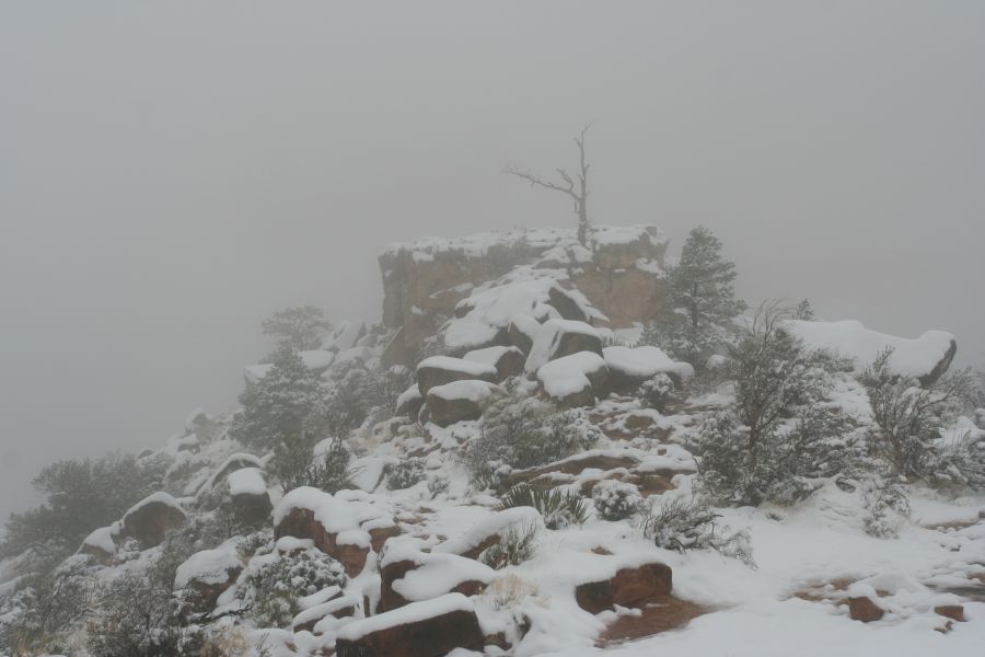
foggy scene |
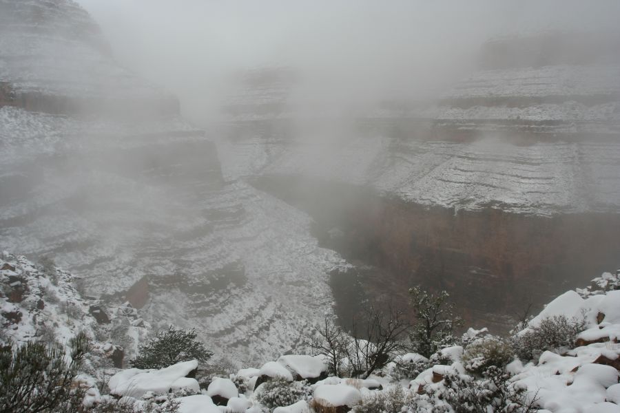
foggy canyon |
snow pattern on the Supai formation |
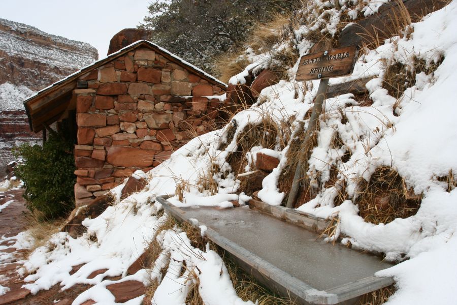
Santa Maria Spring (icy) |
out of the Supai formation |
rim visible |
almost there |
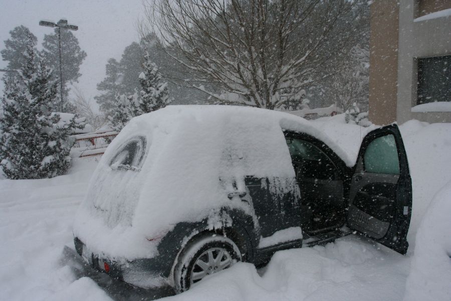
next morning, in Flagstaff: |

|

|
all images © James Tung, 2001-2008