all images © James Tung, 2001-2008
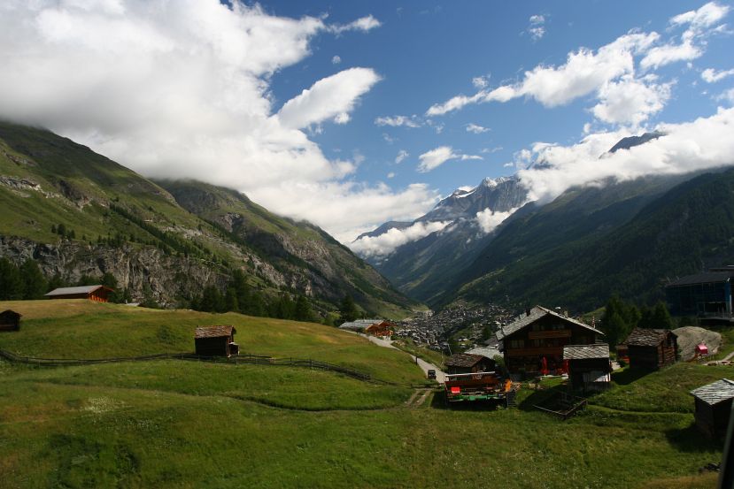
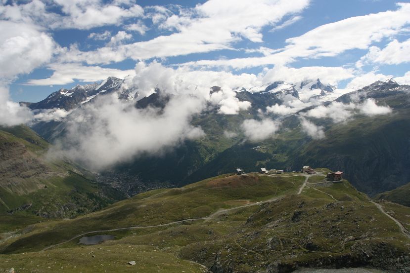
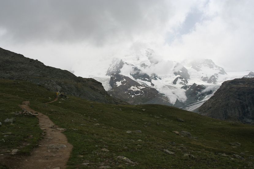
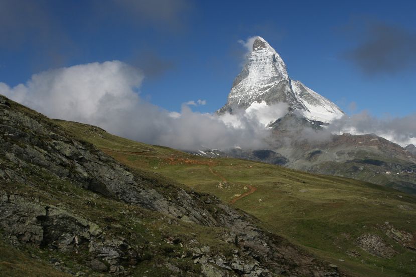
view at Höhbalmen
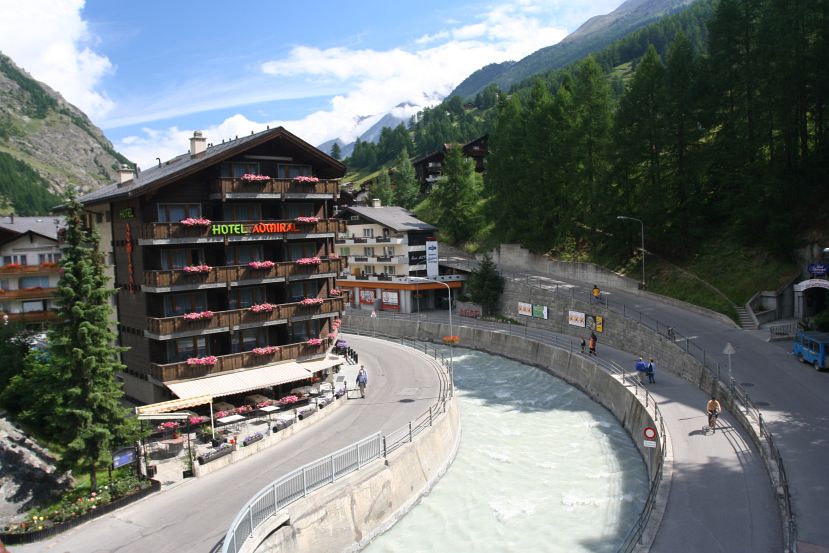
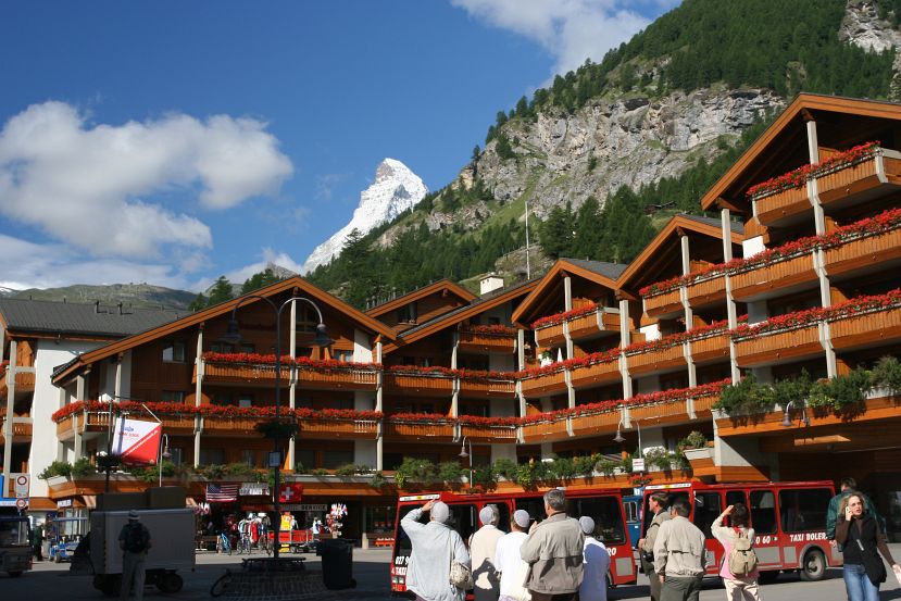
In July, 2005 I spent about a week hiking in the Matterhorn region of the Swiss Alps, after having hiked for a few days earlier around Chamonix in the French Alps. I stayed in Hotel Bahnhof in Zermatt (1620 m). The hotel was in an incredibly convenient location: the main train station, the grocery store, internet access, and the train station to Gornergrat were all within a two-minute walk.
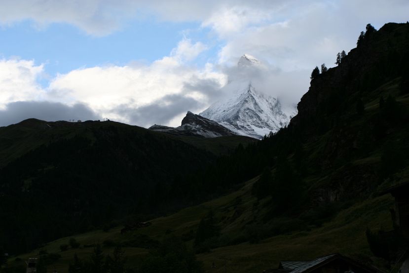
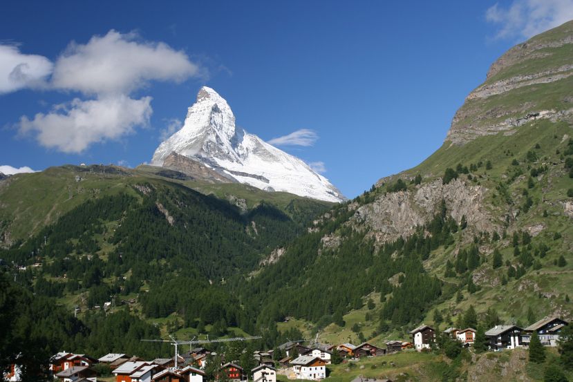
This was my first solo hike. It seemed pretty safe to do this in the Alps since there were always people (or huts with food) around and I wouldn't have to worry about, say, a grizzly bear sneaking up on me (or starving). Unfortunately the weather was not great for most of the week. The Matterhorn was basically shrouded in clouds until the last day, and it was quite snowy at higher altitude for some of the days. Still, I enjoyed the hiking, got to know the area pretty well, and saw some pretty neat mountains once the clouds lifted and the sun came out.
The tourism office offers a hiking map that shows color coded trails, which may be enough for hiking since the trails are well marked with charming, handwritten signposts. I still got a topo map though, and used it a few times when there were no signs at the trail intersections.
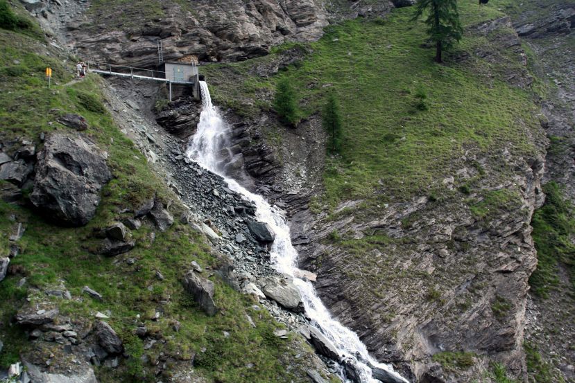
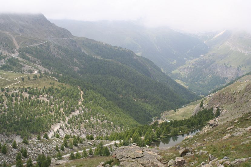
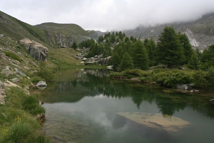
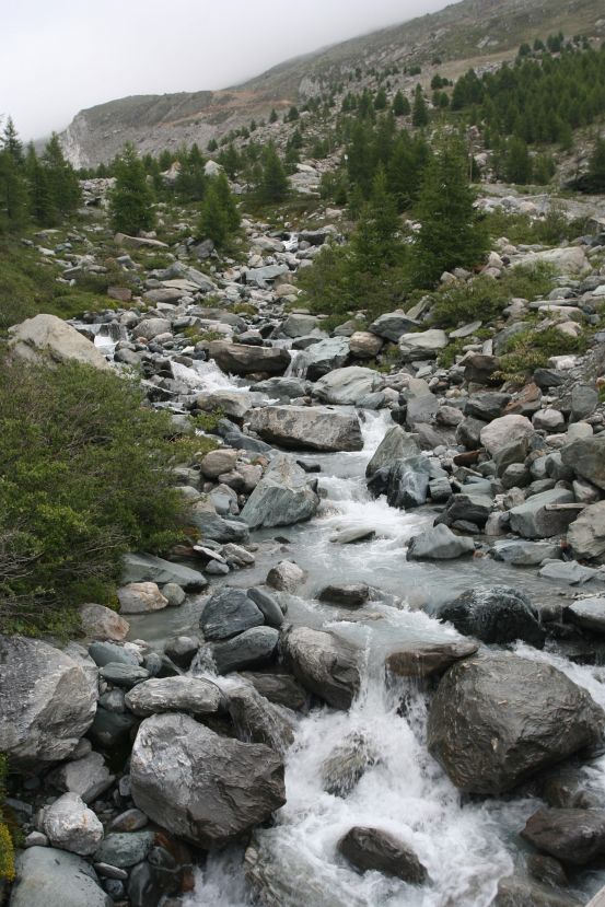
Find signpost for Edelweiss (1961 m) around the west edge of town. Climb up to Edelweiss (1961 m), and then to Trift (2337 m), along the Triftbach valley. Follow signpost to Höhbalmen. After a while trail descends near the water reservoirs. Follow trail back to Zermatt via Chalbermatten and Zmutt.
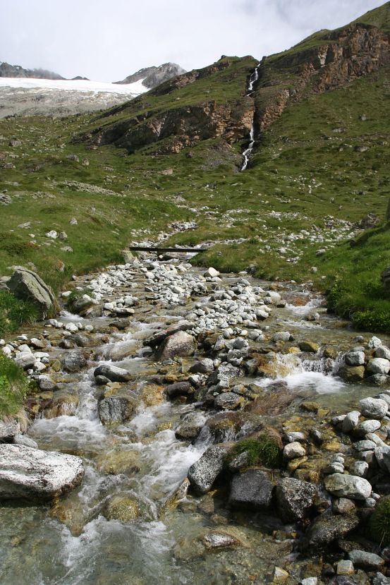
It was cloudy, and drizzling slightly throughout the morning climb to Trift. The sun came out just as I was arriving Trift. Worried that I didn't bring enough food and water for the whole day, I decided to have a meal at the Hotel du Trift. I ended up having an excellent plate of rösti while sitting outside, enjoying a gorgeous view of the valley.
Another hour or so of climbing and I was out of the valley enough to see the mountains, with Matterhorn looming in the direction of travel. The clouds gathered as I walked closer to Matternhorn, and it started raining as the trail turned back toward Zermatt near the reservoirs. I was thoroughly soaked by the time I got back to Zermatt, and was thankful that I was in a hotel with hot shower instead of a tent.

view of Zermatt |
Triftbach |
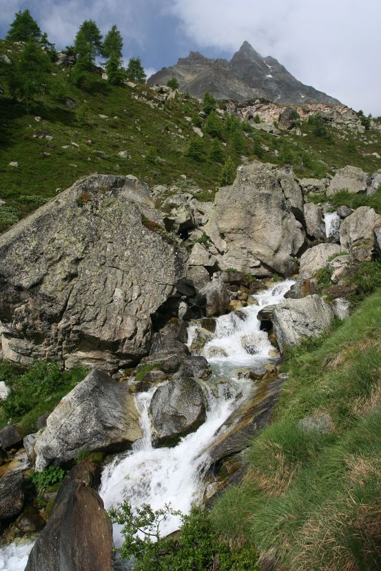
Triftbach hear hotel |
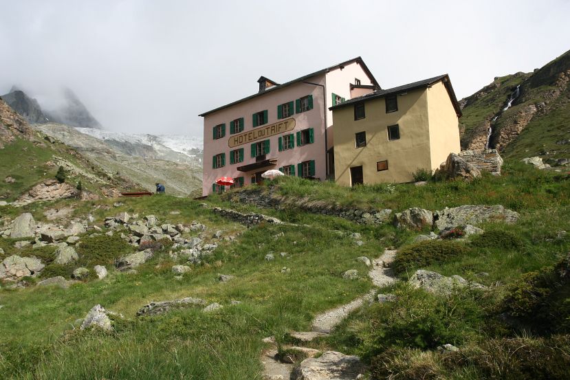
has good rösti |
view near hotel |
hotel from high up |
looking the other way, the mountains are visible |

Breithorn and Kleinmatterhorn to its right |

Findelgletscher |
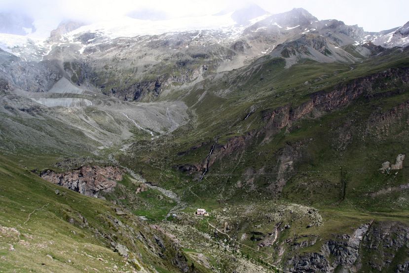
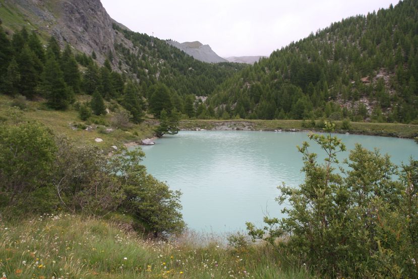
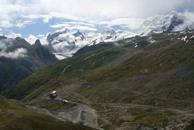
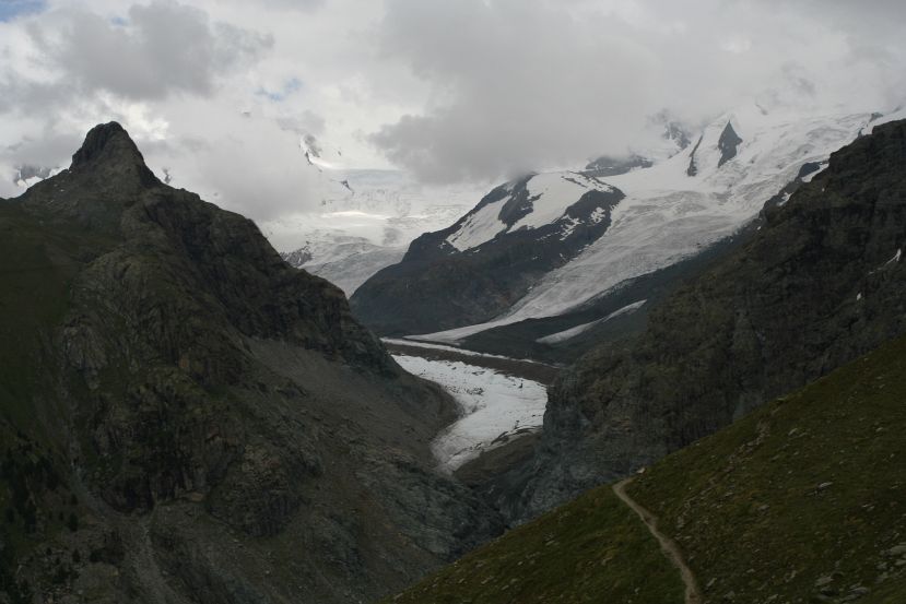
Matterhorn with reservoirs |
hidden tip |
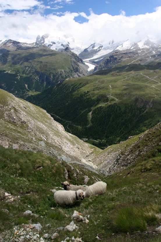
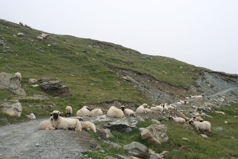
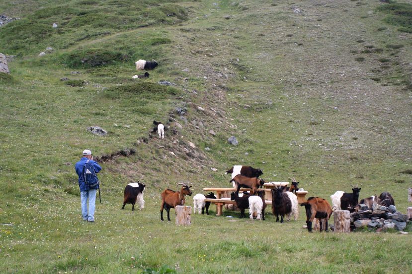
life of Alpine sheep |
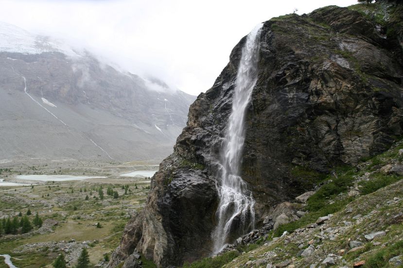
waterfall |
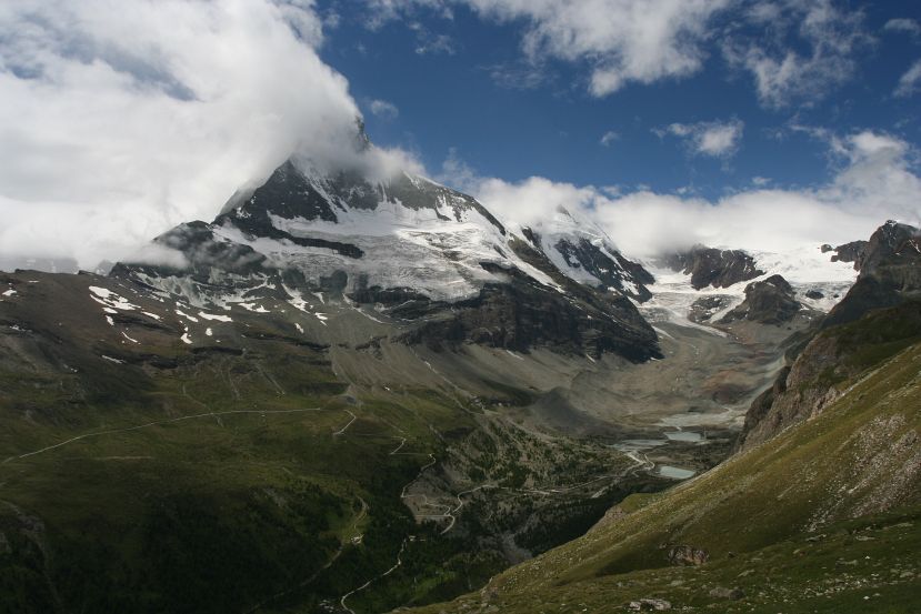
foggy near Zmutt |
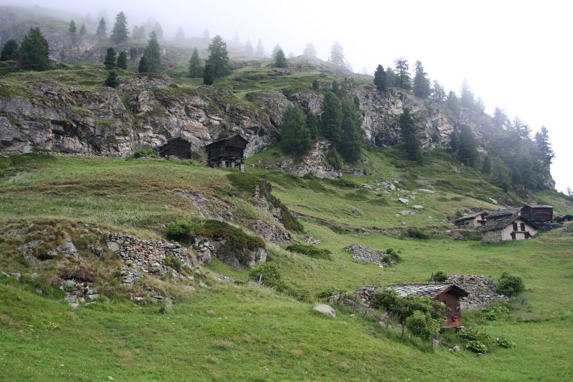
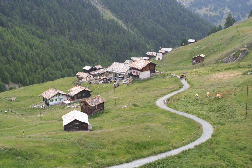
huts |
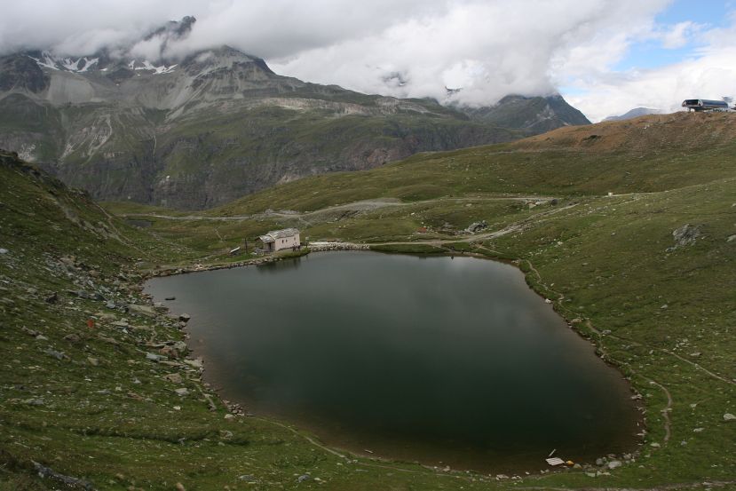
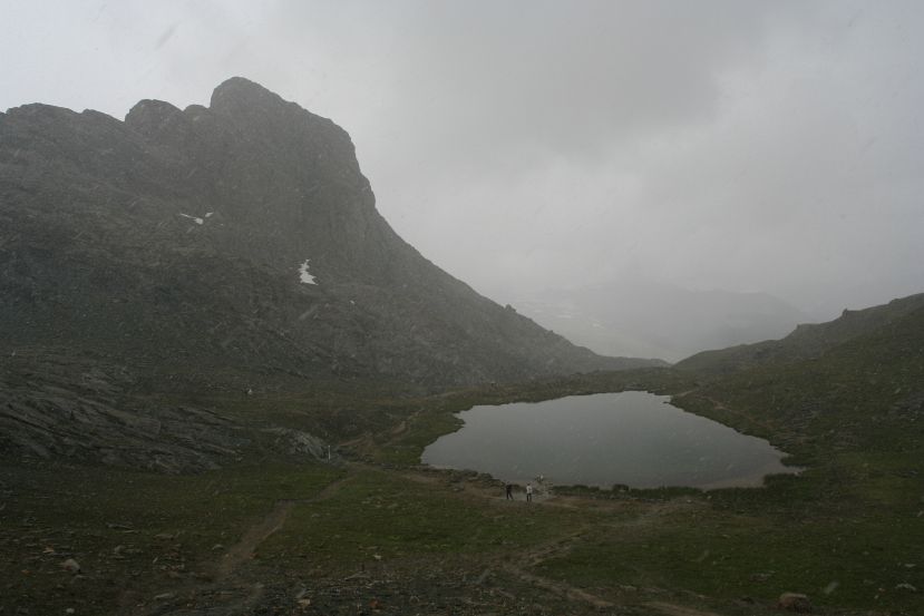
Take the lift to Sunnegga (2288 m). Climb to Blauherd (2571 m), then follow signposts to Stellisee, Grindjisee, Moosjisee, and Leisee.
The climb up to Blauherd passed through territory supposedly teeming with marmots. I might have seen one through the fairly dense fog. Thus, not much of a view all day, but the local view of the lakes was pretty nice. I discovered much later from postcards that one could see the Matterhorn reflecting off Stellisee and Grindjisee, which gave me great desire to go back on a nicer day.
foggy |
fake marmots |
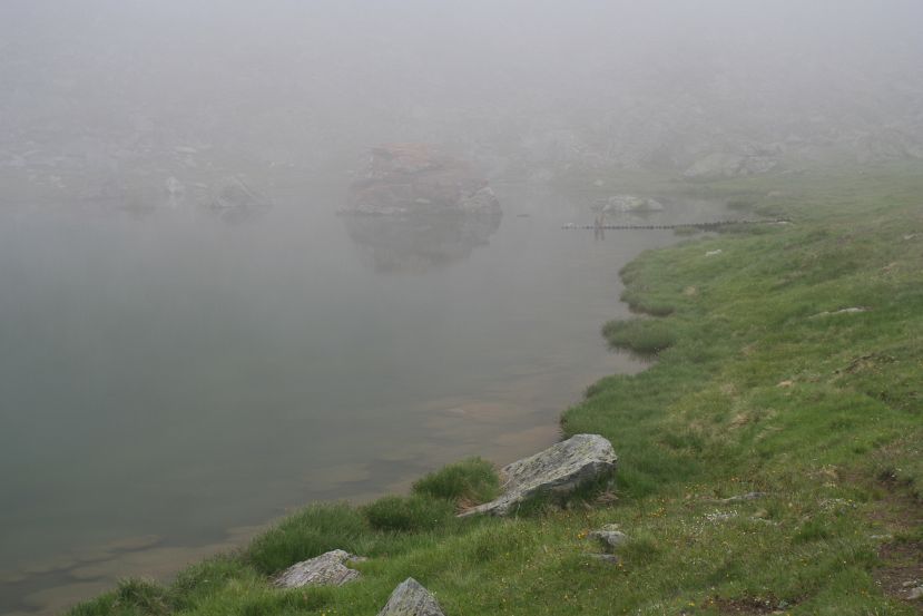
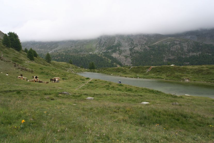
Stellisee in fog |
sheep on the road |
Grindjisee, and a little corner of Moosjisee behind it |
Grindjisee |
? |
Moosjisee, more like a water reservoir |
? |
goats next to Leisee |
Leisee |
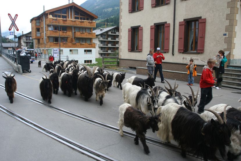
twice daily goat run in town, right in front of my hotel |
Take gondola up to Schwarzsee (2583 m); hike up to the Hörnlihütte (3260 m) and back.
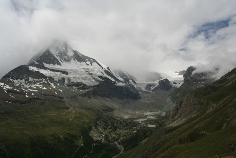
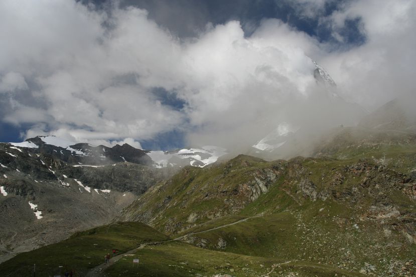
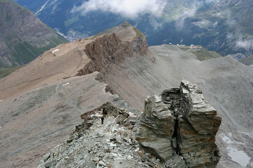
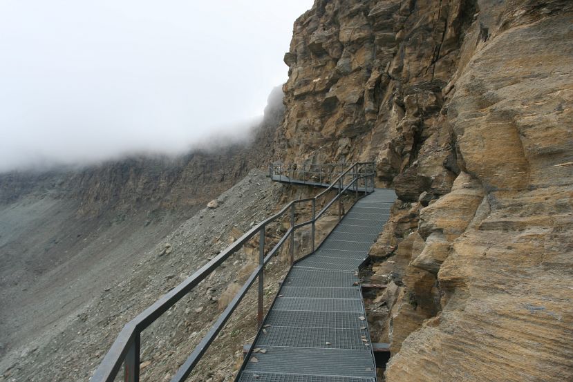
Hörnlihütte is the base camp for summiting Matterhorn. The terrain was mostly rocky once out of the Schwarzsee basin, and a few man-made structures were needed for the impassible portions. Matterhorn loomed throughout the hike, still mostly hidden by cloud. Once high enough I could see the paths that I hiked in day 1 across the valley. Near the Hütte the climb was steep, the air was thin, and it started snowing. So upon arrival at the hut I treated myself to a nice bowl of hot soup.

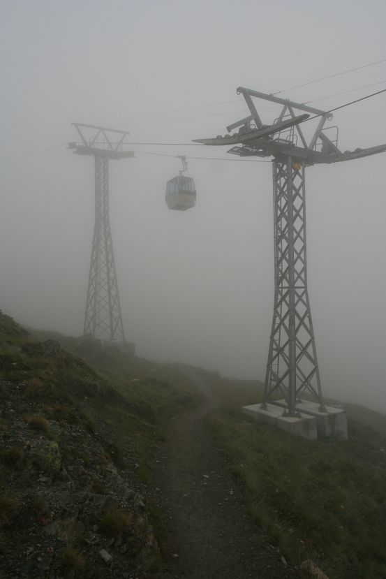
view from cable car |
view of Zermatt, from cable car |
view near Schwarzsee |
Schwarzsee in the morning |
Furgg station; Breithorn and Monte Rosa in the back |
view of Schwarzsee area from above |
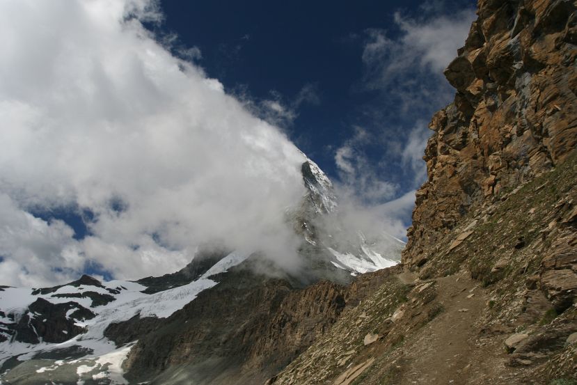
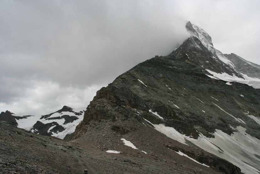
Matterhorn; scary trail |
waterfall from day 1 |
Hörnlihütte visible |
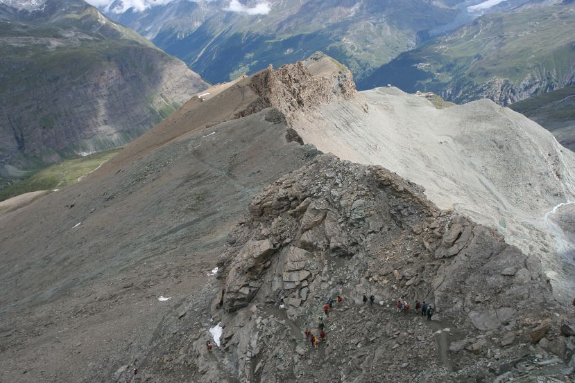
a queue of hikers |
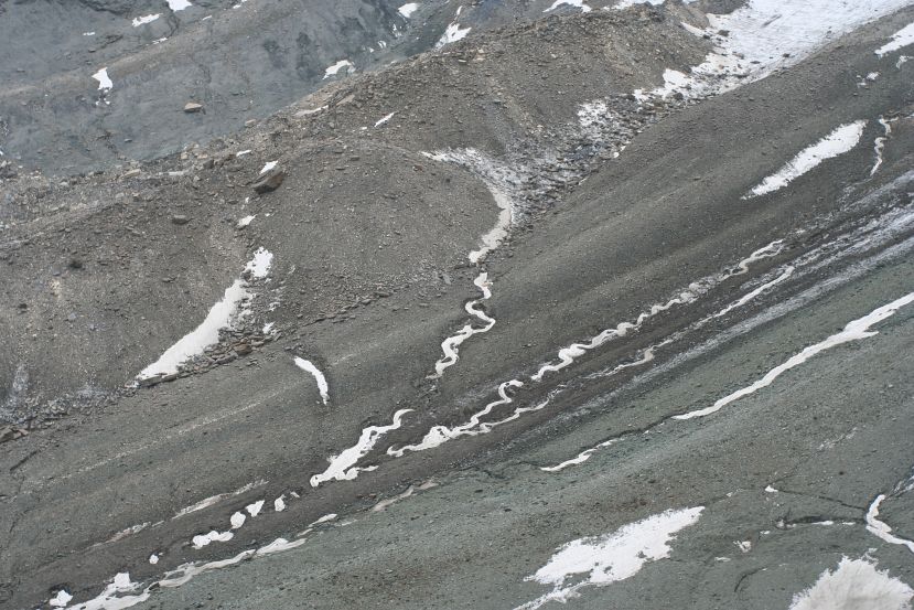
twirly snow |
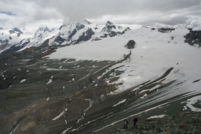
Ob. Theodul- and Furgg-gletscher; Kleinmatterhorn in the middle, Breithorn in cloud |
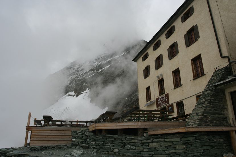
has good soup |
rock formation |
very helpful |
Schwarzsee in the afternoon |
view of Gornergletscher from cable car |

Pfarrkirche Zermatt |
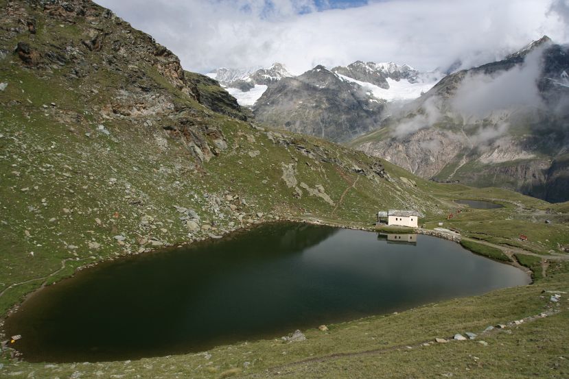
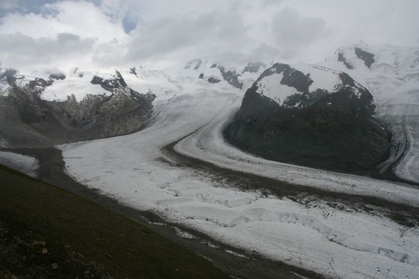
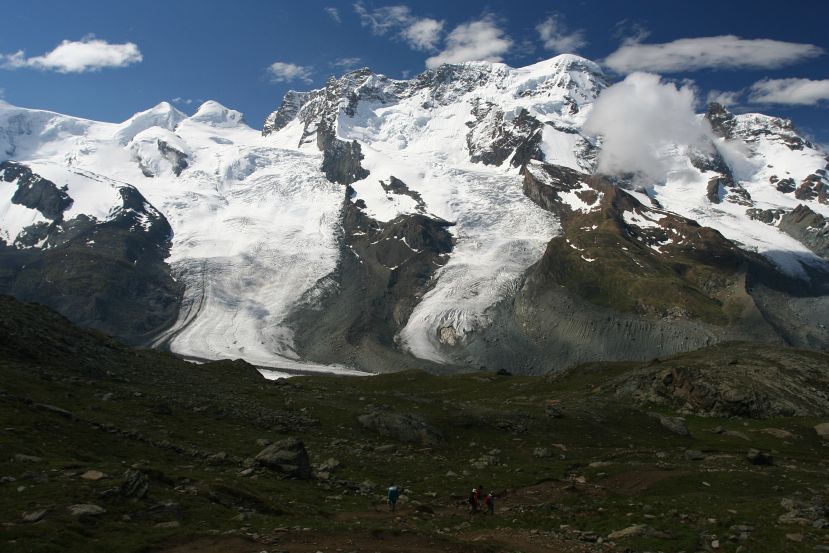
Take the Gornergrat train to Riffelalp (2211 m). Climb to Riffelberg (2582 m), then Riffelsee. Take the lower path toward Monte Rosahütte. Turn back near the descent onto Gornergletscher.
The goal was to cross the Gornergletscher to reach Monte Rosahüttee, which I heard could be done without equipment. My ascent took way too long and it was already 2 pm by the time I was near the glacier. Plus there was a steady snow, and there were few people on the trail. Plus it actually didn't look very safe to walk on the glacier. So I decided to turn back before it was too late, and left the glacier hike for another time.
view of the Visp from Gornergrat train |

view from train |
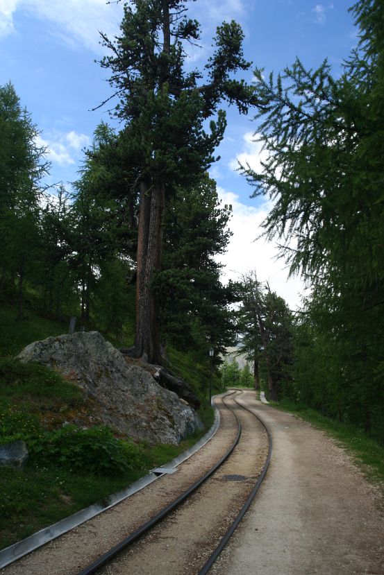
train track |
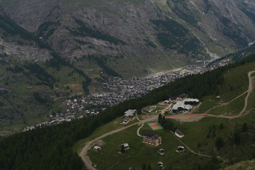
Riffelalp, Zermatt, and the lonely Edelweiss in the valley |
trail |
Riffelsee in snow |

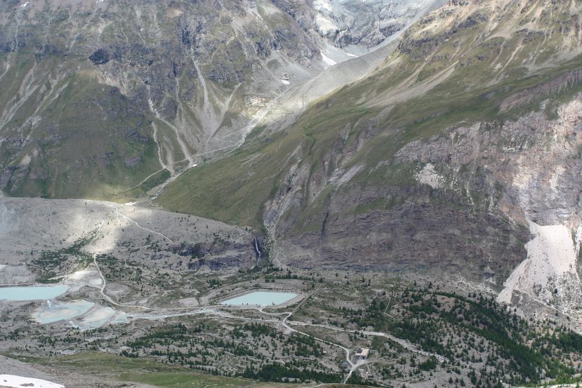
pond in glacier with intense blue color |
Gornergletcher |
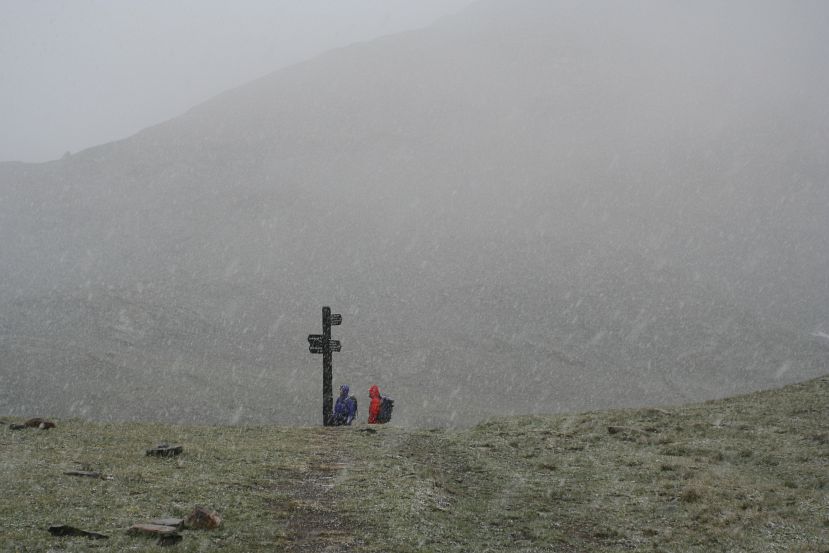
easy to get lost in this weather |
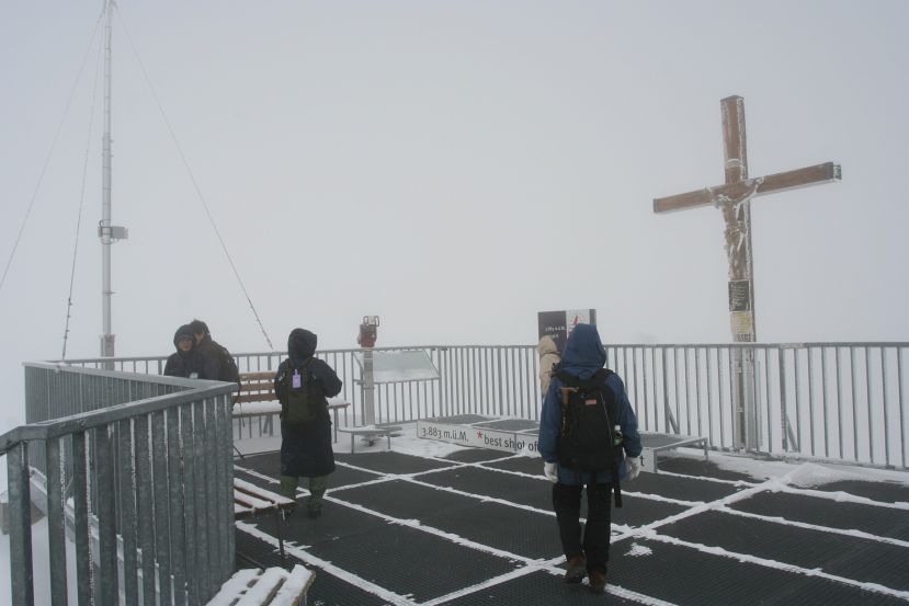
Matterhorn was almost visible in the early morning, so I thought this is the day to go up to the high observation point at Kleinmatterhorn (3883 m). Alas, it was blizzard condition at Kleinmatterhorn when I arrived, so I killed time in the ice cave and the (heated) cafe. Toward noon the snow stopped, and surrounding mountains were sometimes visible through the fog.
Matterhorn in the morning |
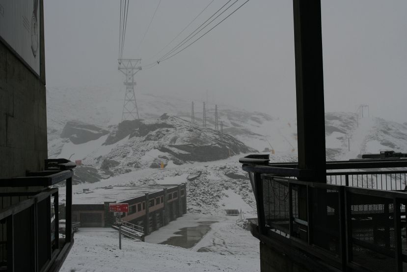
Trockner Steg |
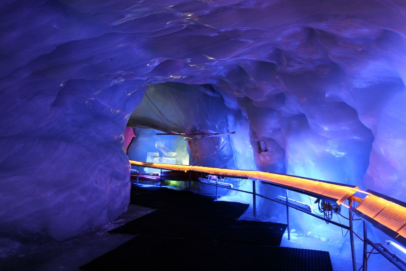
inside ice cave |
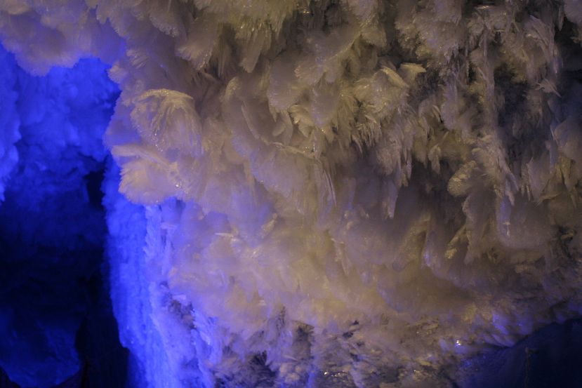
crystal formation |
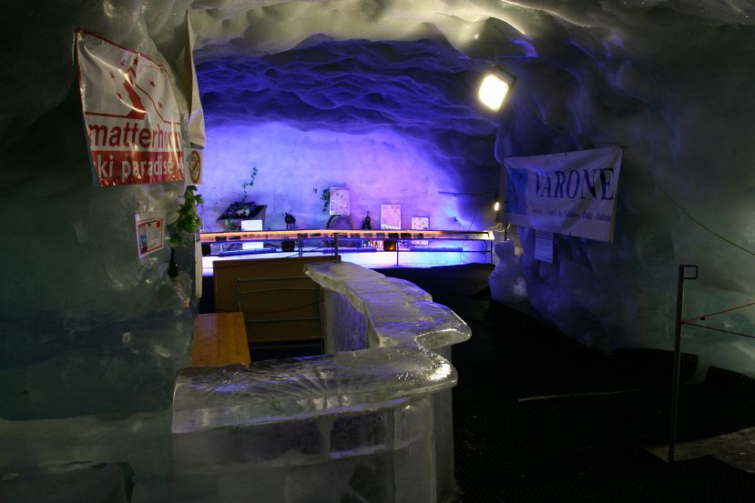
bar's closed |
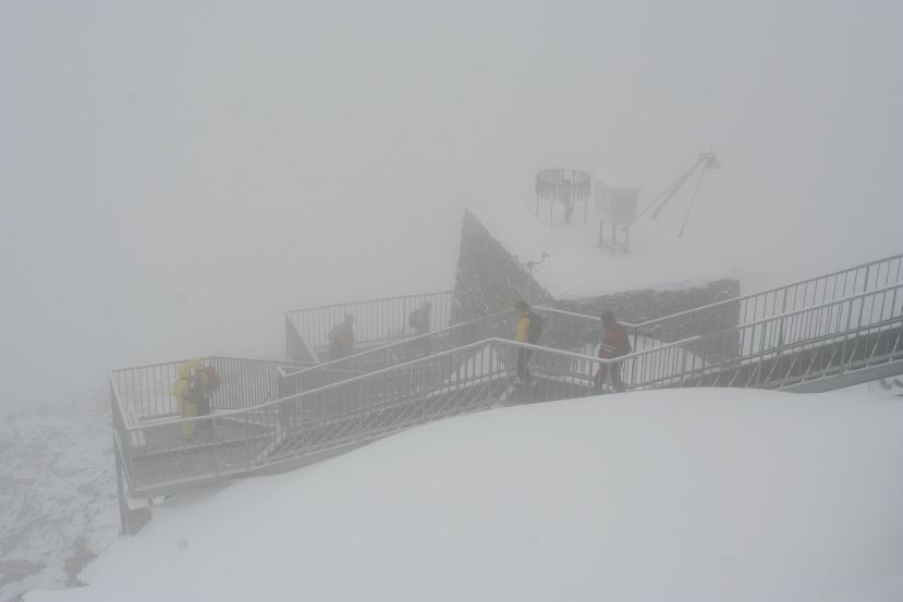
very snowy outside |
snowy |
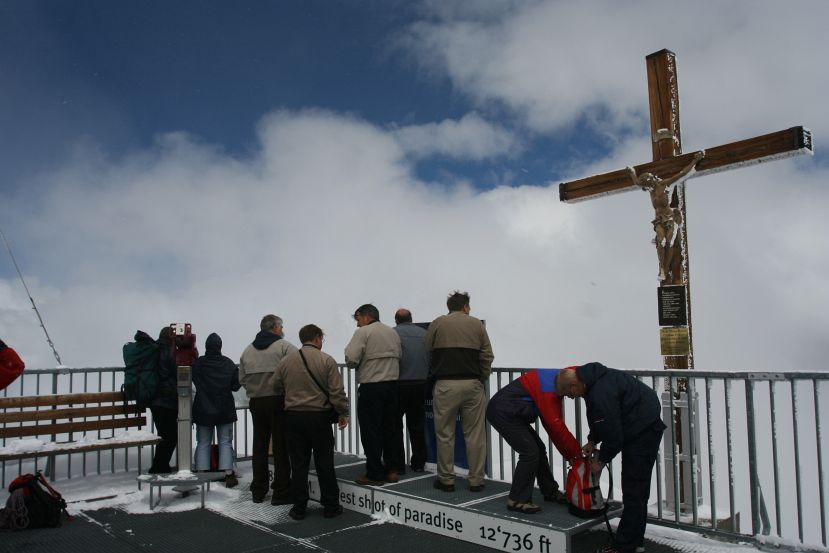
cleared out a bit later |
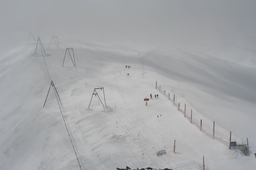
summer ski |
Take train to Riffelberg (2582 m), then hike up to Gornergrat (3089 m).
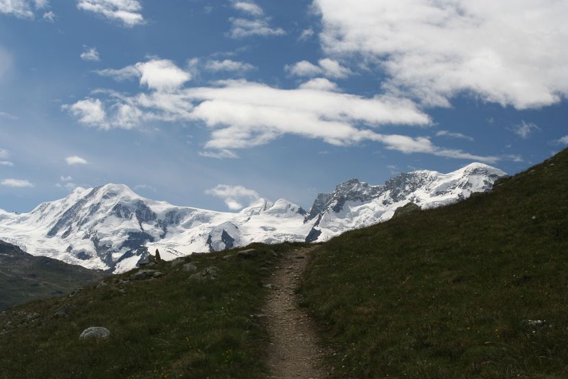
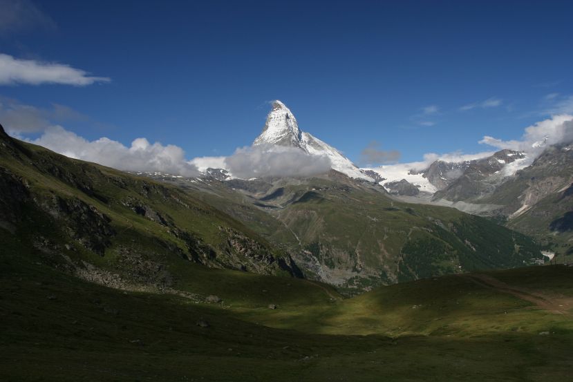
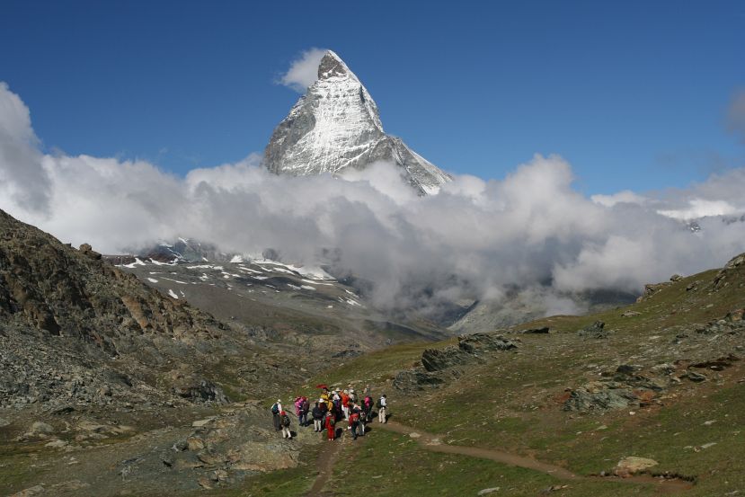
It was finally a clear day, and Matterhorn stood unobstructed. For a few hours, anyway. I took the train up to Riffelberg again, and hiked up to Riffelsee, then further up to Gornergrat. The upper route takes one further away from the glaciers than the one I took on Day 4, but the view was still impressive. After lunch it was clouding over again. I decided that it was time to head out of town and begin my journey toward the Jungfrau region.
view near train station |
view from Gornergrat train |
view from Riffelberg |
view near Riffelberg |
view near Riffelsee |

Matterhorn reflecting in Riffelsee |
? |
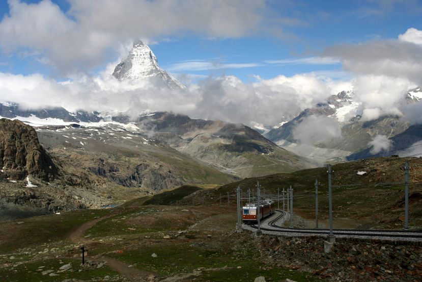
Matterhorn with train |

Gornergletscher |
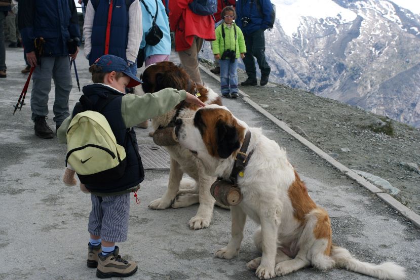
St. Bernards |
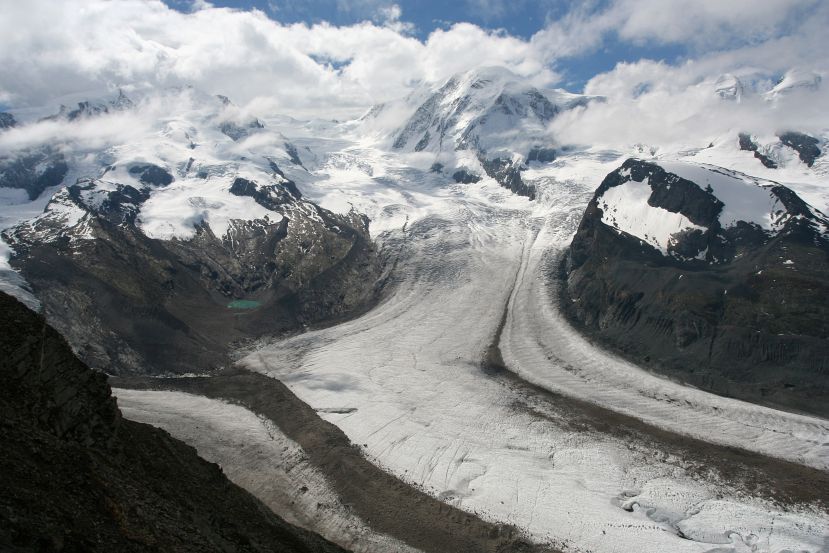
Gornergletscher |
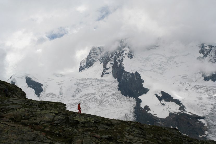
lone hiker against glacier |

|

|
all images © James Tung, 2001-2008